Montpelier, Iowa
Montpelier is an unincorporated community in eastern Muscatine County, Iowa, United States. Located along Iowa Highway 22, it lies on the Mississippi River above the city of Muscatine, the county seat of Muscatine County.[2] Its elevation is 568 feet (173 m).[1] The community is part of the Muscatine Micropolitan Statistical Area.
Montpelier, Iowa | |
|---|---|
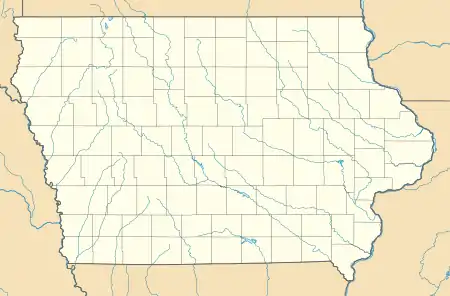 Montpelier, Iowa Location within the state of Iowa | |
| Coordinates: 41°27′33″N 90°48′26″W | |
| Country | United States |
| State | Iowa |
| County | Scott, Muscatine |
| Elevation | 568 ft (173 m) |
| Time zone | UTC-6 (Central (CST)) |
| • Summer (DST) | UTC-5 (CDT) |
| Area code(s) | 563 |
| GNIS feature ID | 459197[1] |
History
The first settlers were of Muscatine County were natives of Vermont, and they chose the name after the capital of that state, Montpelier.[3]
Montpelier's post office was first established under the name of Iowa on April 19, 1836, changed to Montpelier on April 1, 1839, and discontinued on February 11, 1846. Although it was reestablished on February 28, 1882, it was finally discontinued on February 18, 1986, when it was attached to the Blue Grass post office.[4] Although its post office is gone, Montpelier retains its own ZIP Code, 52759.[5]
Education
Muscatine Community School District operates public schools serving the community.[6] Muscatine High School is the district's high school.
References
- "Montpelier, Iowa". Geographic Names Information System. United States Geological Survey.
- Rand McNally. The Road Atlas '08. Chicago: Rand McNally, 2008, p. 39.
- Richman, Irving Berdine (1911). History of Muscatine County, Iowa: From the Earliest Settlements to the Present Time. S. J. Clarke Publishing Company. pp. 210.
- U.S. Geological Survey Geographic Names Information System: Montpelier Post Office
- Zip Code Lookup
- "District". Muscatine Community School District. Retrieved 2020-03-28.
It also includes the towns of Fairport and Montpelier, as well as portions of the rural areas of Letts and Blue Grass.
Municipalities and communities of Muscatine County, Iowa, United States | ||
|---|---|---|
| Cities | Map of Iowa highlighting Muscatine County | |
| Townships | ||
| Unincorporated communities | ||
| Footnotes | ‡This populated place also has portions in an adjacent county or counties | |
| ||
