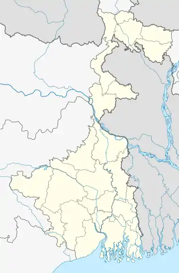
Nazat
Nazat (mentioned in census reports as Nyazat) is a village and a gram panchayat in Sandeshkhali I CD Block in Basirhat subdivision of North 24 Parganas district in the state of West Bengal, India.
Nazat | |
|---|---|
Village | |
 Nazat Location in West Bengal, India  Nazat Nazat (India) | |
| Coordinates: 22.443651°N 88.842423°E | |
| Country | |
| State | West Bengal |
| District | North 24 Parganas |
| Population (2011) | |
| • Total | 4,732 |
| Languages | |
| • Official | Bengali, English |
| Time zone | UTC+5:30 (IST) |
| Telephone/STD code | 03217 |
| Lok Sabha constituency | Basirhat |
| Vidhan Sabha constituency | Sandeshkhali |
| Website | north24parganas |
Geography
Nazat is located near the confluence of the Bidyadhari and the Besti.[1][2]
Police station
Nazat police station has jurisdiction over Sandeshkhali I CD Block.[3]
CD Block HQ
The headquarters of Sandeshkhali I CD Block are located at Nazat.[4]
Demographics
As per the 2011 Census of India, Nyazat had a total population of 4,732, of which 2,412 (51%) were males and 2,320 (49%) were females. Population below 6 years was 544. The total number of literates in Nyazat was 3,036 (72.49% of the population over 6 years).[5]
Economy
Nazat hat (market) is spread over 1 acre of land and sits on Mondays and Fridays.[6]
Transport
The Nazat-Basirhat Road links Nazat to SH 2 at Bhebia Chowmatha Murarishah.[7]
On crossing the Besti River from Nazat Kheya Ghat one can easily approach the 30-bedded Ghoshpur Rural Hospital and Kalinagar Mahavidyalaya.[8]
Healthcare
Nazat has a primary health centres with 6 beds.[9]
References
- "North 24 Parganas district". Blocks and Municipalities map. District Authorities. Retrieved 12 May 2018.
- "District Census Handbook North Twenty Four Parganas, Census of India 2011, Series 20, Part XII A" (PDF). Map of Sandeshkhali I CD Block, page 645. Directorate of Census Operations, West Bengal. Retrieved 6 May 2018.
- "North 24 Parganas Dist. Police". Know Your Police Station. District Police. Retrieved 12 May 2018.
- "West Bengal Public Library Network". BDO Offices under North 24 Parganas district. Government of West Bengal. Retrieved 12 May 2018.
- "C.D. Block Wise Primary Census Abstract Data(PCA)". West Bengal – District-wise CD Blocks. Registrar General and Census Commissioner, India. Retrieved 11 May 2018.
- "Primary Hats/ Markets of District". North 24 Parganas. West Bengal Agri-marketing Board. Archived from the original on 12 May 2018. Retrieved 12 May 2018.
- Google maps
- Google maps
- "Health & Family Welfare Department". Health Statistics. Government of West Bengal. Retrieved 11 May 2018.
