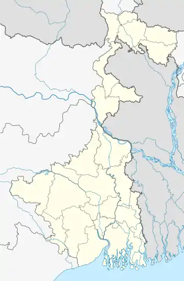
Sarapul, North 24 Parganas
Sarapul (also spelled Sarapole) is a village in Swarupnagar CD Block in Basirhat subdivision of North 24 Parganas district in the state of West Bengal, India.
Sarapul
Sarapole | |
|---|---|
Village | |
 Sarapul Location in West Bengal, India  Sarapul Sarapul (India) | |
| Coordinates: 22.838345°N 88.867743°E | |
| Country | |
| State | West Bengal |
| District | North 24 Parganas |
| Population (2011) | |
| • Total | 8,290 |
| Languages | |
| • Official | Bengali, English |
| Time zone | UTC+5:30 (IST) |
| PIN | 743286 (Sarapul) |
| Telephone/STD code | 03217 |
| Lok Sabha constituency | Bangaon |
| Vidhan Sabha constituency | Swarupnagar |
| Website | north24parganas |
Geography
Sharapul Nirman forms a gram panchayat[1]
The CD Block headquarters and police station are located at Swarupnagar village located nearby.[2]
Demographics
As per the 2011 Census of India, Sarapul had a total population of 8,290, of which 4,267 (51%) were males and 4,023 (49%) were females. Population below 6 years was 853. The total number of literates in Sarapul was 5,869 (78.92% of the population over 6 years).[3]
Transport
Sarapul is located at the crossing of Taranipur-Tentulia Road and Hakimpur Main Road.[2]
Healthcare
Sarapole (Sonarpur) Rural Hospital with 30 beds is the main medical facility in Swarupnagar CD Block. There are primary health centres at Bankra (with 10 beds) and Charghat (with 10 beds).[4]
References
- "Directory of District, Subdivision, Panchayat Samiti/ Block and Gram Panchayats in West Bengal". North Twentfour Parganas - Revised in March 2008. Panchayats and Rural Development Department, Government of West Bengal. Retrieved 29 May 2018.
- Google maps
- "C.D. Block Wise Primary Census Abstract Data(PCA)". West Bengal – District-wise CD Blocks. Registrar General and Census Commissioner, India. Retrieved 23 May 2018.
- "Health & Family Welfare Department". Health Statistics. Government of West Bengal. Retrieved 23 May 2018.