Normandy, Isles of Scilly
Normandy is a small settlement on the island of St Mary's, the largest of the Isles of Scilly, England. It is located in the east of the island, between Pelistry (to the north) and Porth Hellick (to the south) on the A3110 road.[1]
| Normandy | |
|---|---|
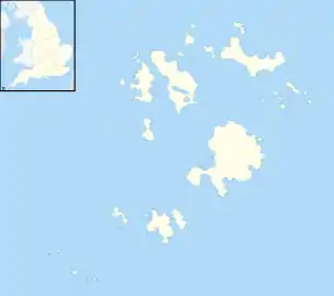 Normandy Location within Isles of Scilly | |
| Civil parish |
|
| Unitary authority | |
| Ceremonial county | |
| Region | |
| Country | England |
| Sovereign state | United Kingdom |
| Post town | ISLES OF SCILLY |
| Postcode district | TR21 |
| Dialling code | 01720 |
| Police | Devon and Cornwall |
| Fire | Isles of Scilly |
| Ambulance | South Western |
| UK Parliament | |
The Isles of Scilly's only public swimming pool is located here; it is covered.[2] The settlement is otherwise largely residential, with houses and apartments lived in by permanent residents of the island.
Close by is the island's main desalination works,[3] which draws water in from the sea and purifies it for the public fresh water system.
References
- Ordnance Survey: Landranger map sheet 203 Land's End ISBN 978-0-319-23148-7
- Council of the Isles of Scilly Normandy Pool
- Friendly Guides Isles of Scilly Map 7th Ed.
| Inhabited islands | 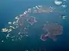 | |
|---|---|---|
| Uninhabited islands | ||
| Settlements |
| |
| Symbols | ||
| Topics |
| |
This article is issued from Wikipedia. The text is licensed under Creative Commons - Attribution - Sharealike. Additional terms may apply for the media files.