Nutaarmiut Island
Nutaarmiut Island (old spelling: Nutârmiut) is an uninhabited[1] island in the Qaasuitsup municipality in northwestern Greenland, with an area of 377 km2 (146 sq mi).[1]
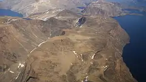 Aerial view | |
 Nutaarmiut | |
| Geography | |
|---|---|
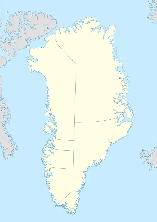
| Location | Greenland |
| Coordinates | 72°42′N 55°25′W |
| Archipelago | Upernavik Archipelago |
| Area | 377 km2 (146 sq mi) |
| Administration | |
Greenland | |
| Municipality | Qaasuitsup |
Geography
The island is located in the southern part of Upernavik Archipelago, on the coast of Baffin Bay, approximately 17.5 km (10.9 mi) east-south-east of Upernavik town.[2] To the west, the Akornat Strait separates the island from Qaarsorsuaq Island. To the northwest and northeast, small channels separate the island from Aappilattoq Island and several smaller skerries on the southern coast of the inner Upernavik Icefjord.[2]
The Ammarqua Strait separates Nutaarmiut Island from four large islands in the east, Uilortussoq Island and Saninngassoq Island in the north; Nako Island and Akuliaruseq Island in the south. The Eqalugaarsuit Sulluat Fjord opens into Ammarqua Strait immediately to the east of the southern cape. In the southeast, the Ineraq Island and the double Singarnaq-Annertussoq Island separate Nutaarmiut Island from the open Baffin Bay.[2]
References
- Norwegian University of Science and Technology Archived 2011-06-15 at the Wayback Machine
- Upernavik, Saga Map, 1:250.000, Tage Schjøtt, 1992