Oracle Junction, Arizona
Oracle Junction is an unincorporated town in Pinal County, Arizona,[2] near the junction of Arizona State Routes 77 and 79 (formerly U.S. 89 until 1992).[3] It is an estimated 3,320 feet (1,010 m) above sea level.[1]
Oracle Junction, Arizona | |
|---|---|
 Oracle Junction Location within the state of Arizona  Oracle Junction Oracle Junction (the United States) | |
| Coordinates: 32°33′18″N 110°56′00″W | |
| Country | United States |
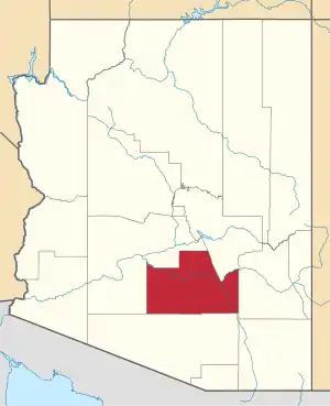
| State | Arizona |
| County | Pinal |
| Elevation | 3,320 ft (1,012 m) |
| Time zone | UTC-7 (Mountain (MST)) |
| • Summer (DST) | UTC-7 (MST) |
| Area code(s) | 520 |
| FIPS code | 04-51320 |
| GNIS feature ID | 24547 |
History
Oracle Junction was originally a service station called Walnut Service Station, along the main road between Tucson and Phoenix.[4] It was renamed Oracle Junction Service Station in 1926, and Oracle Junction developed in the area around it. During the 1930s the area hosted rodeos on Independence Day weekend.[4]
The town has its own fire district, created in 1980.[5]
As of the mid-1990s, the town has a mobile home park, a bakery, and two restaurants. The original service station closed.[4]
References
- "Feature Detail Report for: Neff". Geographic Names Information System. United States Geological Survey.
- "Oracle Junction (in Pinal County, AZ) Populated Place Profile". AZ Hometown Locator. Retrieved January 6, 2017.
- Rawlinson, John F. (November 22, 1992). "Some major routes through Arizona given new numbers for continuity". Arizona Daily Star.
- Henry, Bonnie (December 1, 1994). "Old Oracle Junction". Arizona Daily Star.
- Pritchard, Liz (December 4, 1980). "Merchant's concern sparks Oracle Junction fire district". Arizona Daily Star.
This article is issued from Wikipedia. The text is licensed under Creative Commons - Attribution - Sharealike. Additional terms may apply for the media files.