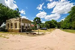
Parks, Nebraska
Parks is an unincorporated community and census-designated place in southern Dundy County, Nebraska, United States. As of the 2010 census, its population was 23.[1] Parks lies along local roads just north of U.S. Route 34, 12 miles (19 km) west of the city of Benkelman, the county seat of Dundy County.[2] Its elevation is 3,094 feet (943 m) above sea level.[3] Parks is unincorporated, with the ZIP code of 69041.[4]
Parks, Nebraska | |
|---|---|
 | |
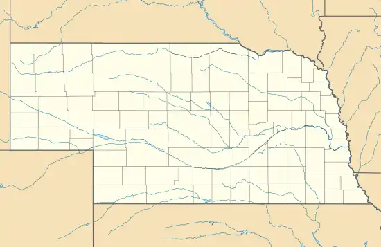 Parks Location within the state of Nebraska | |
| Coordinates: 40°2′30″N 101°43′31″W | |
| Country | United States |
| State | Nebraska |
| County | Dundy |
| Area | |
| • Total | 0.18 sq mi (0.46 km2) |
| • Land | 0.18 sq mi (0.46 km2) |
| • Water | 0.0 sq mi (0.0 km2) |
| Elevation | 3,094 ft (943 m) |
| Population (2010) | |
| • Total | 23 |
| • Density | 131/sq mi (50.5/km2) |
| Time zone | UTC-7 (Mountain (MST)) |
| • Summer (DST) | UTC-6 (MDT) |
| ZIP code | 69041 |
| FIPS code | 31-38365 |
| GNIS feature ID | 835406 |
Parks was named and laid out in 1880–1881 by Frank Parks, who was the surveyor for the railroad that was moving west at the time.[5]
Notable person
- Roger L. Reisher, banker, philanthropist
References
- "Geographic Identifiers: 2010 Demographic Profile Data (G001): Parks CDP, Nebraska". U.S. Census Bureau, American Factfinder. Archived from the original on February 13, 2020. Retrieved November 3, 2015.
- Rand McNally. The Road Atlas '08. Chicago: Rand McNally, 2008, p. 62.
- U.S. Geological Survey Geographic Names Information System: Parks, Nebraska, Geographic Names Information System, 1979-03-09. Accessed 2008-04-26.
- Zip Code Lookup
- Chester Parks, grandson of Frank Parks
External links
Municipalities and communities of Dundy County, Nebraska, United States | ||
|---|---|---|
| City | Map of Nebraska highlighting Dundy County | |
| Village | ||
| CDPs | ||
| Unincorporated communities | ||
| Ghost town | ||
| ||
This article is issued from Wikipedia. The text is licensed under Creative Commons - Attribution - Sharealike. Additional terms may apply for the media files.