Penparc
Penparc is a village in Ceredigion, Wales, on the A487 road 3 miles (4.8 km) northeast of Cardigan.
| Penparc | |
|---|---|
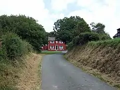 House at road junction, Penparc | |
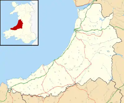 Penparc Location within Ceredigion | |
| OS grid reference | SN21175 47973 |
| Principal area | |
| Country | Wales |
| Sovereign state | United Kingdom |
| Post town | Cardigan |
| Postcode district | SA43 |
| Police | Dyfed-Powys |
| Fire | Mid and West Wales |
| Ambulance | Welsh |
The surrounding land is principally used for cattle grazing although the significant glacial sand deposits[1] are also commercially used as a source of sand and gravel.[2]
To the east of the village, near a prominent conical hill, is the site of the Battle of Crug Mawr, fought in 1136.[3]
References
- "The Ordovician and Silurian meta-sedimentary aquifers of central and south-west Wales" (PDF). The Environment Agency. 2005. ISBN 978-1-84432-642-6. Retrieved 20 April 2016.
- "Penparc residents angry over quarry extension plans". BBC. 13 January 2011. Retrieved 20 April 2016.
- "Dyfed Archaeological Trust: Cardigan". Retrieved 13 May 2018.

This article is issued from Wikipedia. The text is licensed under Creative Commons - Attribution - Sharealike. Additional terms may apply for the media files.
