Perham Municipal Airport
Perham Municipal Airport (FAA LID: 16D) is a city-owned public-use airport located two miles northwest of the central business district of Perham, a city in Otter Tail County, Minnesota, United States.[1]
Perham Municipal Airport | |||||||||||
|---|---|---|---|---|---|---|---|---|---|---|---|
| Summary | |||||||||||
| Airport type | Public | ||||||||||
| Owner | City of Perham | ||||||||||
| Serves | Perham, Minnesota | ||||||||||
| Elevation AMSL | 1,376 ft / 419 m | ||||||||||
| Coordinates | 46°36′39.50″N 095°36′22.00″W | ||||||||||
| Map | |||||||||||
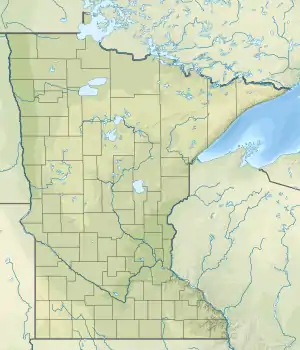 16D Location of airport in Minnesota/United States  16D 16D (the United States) | |||||||||||
| Runways | |||||||||||
| |||||||||||
| Statistics (2010) | |||||||||||
| |||||||||||
Facilities and aircraft
Perham Municipal Airport covers an area of 80 acres which contains one runway designated 13/31 with a 4,102 ft × 75 ft (1,250 m × 23 m) asphalt surface. For the 12-month period ending May 31, 2011, the airport had 7,200 aircraft operations, an average of 20 per day: 100% general aviation. At that time there were 16 aircraft based at this airport: 12 single-engine, 1 multi engine, 2 helicopters, and 1 ultralight.[1]
References
- FAA Airport Form 5010 for 16D PDF, effective 2010-04-05
External links
- FAA Terminal Procedures for 16D, effective January 28, 2021
- Resources for this airport:
- FAA airport information for 16D
- AirNav airport information for 16D
- FlightAware airport information and live flight tracker
- SkyVector aeronautical chart for 16D
This article is issued from Wikipedia. The text is licensed under Creative Commons - Attribution - Sharealike. Additional terms may apply for the media files.