Randygill Top
Randygill Top is a mountain located in the Howgill Fells, Cumbria (historically Westmorland), England.
| Randygill Top | |
|---|---|
| Highest point | |
| Elevation | 624 m (2,047 ft) [1] |
| Prominence | 131 m (430 ft) [1] |
| Parent peak | Yarlside |
| Listing | Marilyn, Hewitt, Nuttall |
| Coordinates | 54.39486°N 2.483379°W |
| Geography | |
| Location | Eden District, Cumbria, England |
| Parent range | Howgill Fells |
References
- "Randygill Top". Peakbagger.com. Retrieved 11 January 2021.
Marilyns of Northern England | ||
|---|---|---|
| 1. Northumberland | 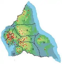 | |
| 2. Northern Lakeland | ||
| 3. Western Lakeland | ||
| 4. Central and Southern Lakeland | ||
| 5. Eastern Lakeland | ||
| 6. North Pennines and Durham | ||
| 7. Northern Yorkshire Dales | ||
| 8. Southern Yorkshire Dales | ||
| 9. North York Moors to the Humber | ||
| 10. Forest of Bowland | ||
This article is issued from Wikipedia. The text is licensed under Creative Commons - Attribution - Sharealike. Additional terms may apply for the media files.