Sangō, Nara
Sangō (三郷町, Sangō-chō) is a town located in Ikoma District, Nara Prefecture, Japan.
Sangō
三郷町 | |||||||||||
|---|---|---|---|---|---|---|---|---|---|---|---|
Town | |||||||||||
 Sango Town Office | |||||||||||
 Flag  Seal | |||||||||||
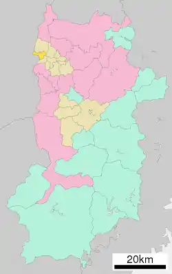 Location of Sangō in Nara Prefecture | |||||||||||
 Sangō Location in Japan | |||||||||||
| Coordinates: 34°36′N 135°42′E | |||||||||||
| Country | Japan | ||||||||||
| Region | Kansai | ||||||||||
| Prefecture | Nara Prefecture | ||||||||||
| District | Ikoma | ||||||||||
| Area | |||||||||||
| • Total | 8.80 km2 (3.40 sq mi) | ||||||||||
| Population (April 1, 2015) | |||||||||||
| • Total | 23,455 | ||||||||||
| • Density | 2,700/km2 (6,900/sq mi) | ||||||||||
| Time zone | UTC+09:00 (JST) | ||||||||||
| City hall address | 1-1-1 Seyanishi, Sangō-chō, Ikoma-gun, Nara-ken 636-8535 | ||||||||||
| Website | www | ||||||||||
| |||||||||||
As of November 1, 2017, the town has a population of 23,185 people, 10,985 males and 12,200 females and a density of 2,640 persons per km². There is a total of 10,407 households.[1] The total area is 8.79 km².
Geography
Located in western Nara Prefecture, sitting right next to the border with Osaka Prefecture, the Yamato River flows through. The majority of the land is flat, as like other municipalities in the Nara Basin. However, the Ikoma Mountain Range situated in the western portion of the town, on the border between Osaka Prefecture.[2]
Sister cities
In Japan
- Misato, Saitama
- Azumino, Nagano (former Misato village)
Transportation
Rail
References
- "三郷町ホームページ". Sangō, Nara. November 1, 2017. Retrieved December 5, 2017.
- 考える社会科地図 Kangaeru Shakaika Chizu. 四谷大塚出版 Yotsuya-Ōtsuka Shuppan. 2005. p. 36.
External links
 Media related to Sangō, Nara at Wikimedia Commons
- Sangō official website (in Japanese)
| Core city | ||
|---|---|---|
| Cities | ||
| Districts | ||
| Authority control |
|---|
This article is issued from Wikipedia. The text is licensed under Creative Commons - Attribution - Sharealike. Additional terms may apply for the media files.
