Stoneyford, County Antrim
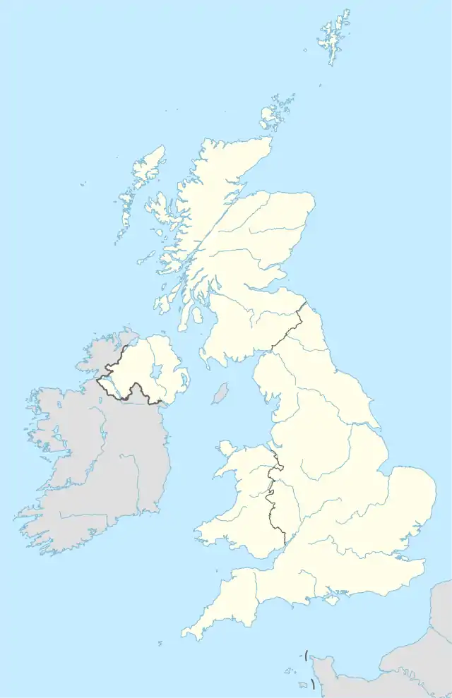
Stoneyford is a small village in County Antrim, Northern Ireland. It is between Glenavy and Milltown, about 5 miles (8 km) north of Lisburn. In the 2001 Census it had a population of 318 people. It is situated in the Lisburn and Castlereagh City Council area.
Stoneyford | |
|---|---|
community | |
 Stoneyford | |
| Coordinates: 54.566986°N 6.121023°W |
Development extends along both sides of Stoneyford Road, which runs through the village on a north/west to south/east axis. Four other minor roads meet Stoneyford Road on the western edge of the village where the landscape of the surrounding countryside is characterised by marshy low-lying fields and low, gently undulating hills. Stoneyford originated as a small linear settlement, situated beside a fording point on a river, which gives the place its name. St John’s Church was established here in the mid-19th century, extending the settlement to the south-east. The construction of the Stoneyford Reservoir greatly changed the character of lands to the south of the settlement, and the reservoir is now an important feature of the village. The Stoneyford River flows through the village from the east to Lough Neagh.
Locally significant buildings include St John’s Church built pre 1850, which is a listed building, and a pre 1830 two-story dwelling situated on Stoneyford Road.
Places of interest
The village is directly north of Stoneyford Reservoir, a popular angling spot for rainbow trout and brown trout.[1]
Recent history
During a 1999 Police Service of Northern Ireland (PSNI) investigation into the activities of the Orange Volunteers and the Red Hand Defenders, secret military intelligence files on almost 400 Irish republicans, which had been downloaded from computers at British Army Headquarters in nearby Thiepval Barracks, were found in Stoneyford Orange Hall.[2]
In July 2010, the Police Ombudsman confirmed that four police officers were disciplined over not having done enough to prevent attacks against Catholics living in the village.[3] A Catholic family had left the village as a result of the attacks.[3]
References
- Stoneyford Reservoir
- "Files 'leaked to loyalistsby Army'" The Guardian.
- "Officers disciplined over Stoneyford response". 1 July 2010. Retrieved 2 July 2010.
- Draft Belfast Metropolitan Area Plan 2015

