Dunamuggy
Dunamuggy (from Irish: Dún na mBogach, meaning "fort of the bogs or marshes")[1] is a townland of 172 acres in County Antrim, Northern Ireland. It is situated in the civil parish of Donegore and the historic barony of Antrim Upper.[2]
Dunamuggy
| |
|---|---|
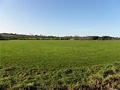 Dunamuggy townland in 2009 | |
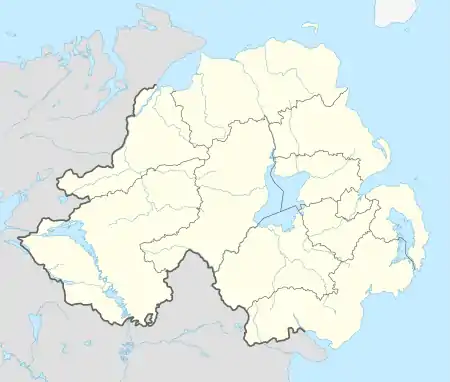 Dunamuggy Location within Northern Ireland | |
| • Belfast | 12 mi (19 km) |
| District | |
| County | |
| Country | Northern Ireland |
| Sovereign state | United Kingdom |
| Post town | BALLYCLARE |
| Postcode district | BT39 |
| Dialling code | 028 |
| Police | Northern Ireland |
| Fire | Northern Ireland |
| Ambulance | Northern Ireland |
| UK Parliament | |
| NI Assembly | |
Archaeology
The name probably comes from a motte in the east of the townland. The Ordnance Survey Memoir of 1838 records a tumulus 18 ft high, outside of which was a parapet varying in height from 2 to 6 ft. The mound seemed to be constructed of stone and covered with earth.[1] The motte is a Scheduled Historic Monument at grid ref: J2274 9059.[3]
References
- "Dunamuggy". Place Names NI. Retrieved 21 April 2015.
- "Dunamuggy". IreAtlas Townlands Database. Retrieved 21 April 2015.
- "Dunamuggy" (PDF). Scheduled Historic Monuments (2015). Northern Ireland Environment Agency. Archived from the original (PDF) on 27 April 2015. Retrieved 21 April 2015.
This article is issued from Wikipedia. The text is licensed under Creative Commons - Attribution - Sharealike. Additional terms may apply for the media files.