Terego District
Terego is a district in Uganda's Northern Region. It is located approximately 360 square kilometres (140 sq mi) northwest of Uganda's capital Kampala. The capital of the district is the trading centre of Leju in Aii-Vu Sub-County. Terego District covers an area of 1,102 square kilometres (425 sq mi)[1] and recorded a population of 199,303 in the 2014 Ugandan census.[2] Terego District also hosts an estimated 168,000 refugees,[3] mostly from South Sudan, in the Imvepi Refugee Settlement and the western zones of the Rhino Camp Refugee Settlement in the district.
Terego | |
|---|---|
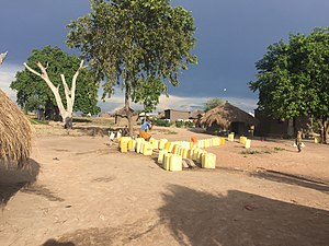
 Water supply point in the Rhino Camp Refugee Settlement | |
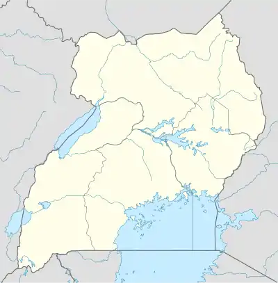
 Terego Location of Terego District in Uganda | |
| Coordinates: 3.2°N 31.1°E | |
| Country | |
| Region | Northern |
| Established | 1 July 2020 |
| Capital | Leju |
| Area | |
| • Total | 1,102 km2 (425 sq mi) |
| Population (2014)[2] | |
| • Total | 199,303 |
| • Density | 180/km2 (470/sq mi) |
| Time zone | UTC+3 (EAT) |
Geography
Terego District is located in northwestern Uganda. It borders the districts of Yumbe to the north, Madi-Okollo to the east, Arua to the south, and Maracha to the west.
The district is drained by seasonal tributaries of the Albert Nile such as the Enyau River.
History
Terego District is contiguous with the former Terego County, which was part of Arua District until 2006. That year, Maracha and Terego Counties were separated from Arua District to form Maracha–Terego District.[4] After nearly five years of disagreement on where the headquarters of the new district should be located, Terego County opted to return to Arua District, leaving Maracha County to form Maracha District on its own.[5] In May 2020, Parliament approved the creation of Terego District, which went into effect on 1 July 2020.[6]
Government
Terego District divided into two counties, Terego East and Terego West. Both counties are divided into three sub-counties: Terego East into Omugo, Udupi, and Uriama, and Terego West into Aii-Vu, Katrini, and Bileafe.[2]
Economy
Agriculture is the mainstay of the economy in Terego District. In the 2014 Ugandan census, 98.8% of households in Terego and Terego East Sub-Counties reported being engaged in agriculture. Major crops include beans, corn and sweet potatoes.[2]
References
- Brinkhoff, Thomas (14 June 2020). "Arua". City Population. Retrieved 25 December 2020.
- Arua District (PDF). National Population and Housing Census 2014: Area Specific Profiles (Report). UBOS. April 2017. Retrieved 25 December 2020.
- Piyic, Edna (15 November 2020). "Refugees in Ofua settlement turn to agriculture for survival". New Vision. Retrieved 25 December 2020.
- Maseruka, Josephine (3 September 2006). "Terego, Maracha Workers Miss Pay". New Vision. Retrieved 13 June 2016.
- Mugabi, Frank (20 June 2010). "Maracha district elects interim council". New Vision. Retrieved 13 June 2016.
- "Parliament approves creation of Terego district". The Independent. 6 May 2020. Retrieved 25 December 2020.