Trory
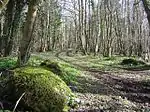
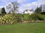
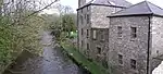
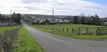
Trory (from Irish: Treabhraigh, meaning "place of tillage") is a townland (of 335 acres), small village and civil parish in County Fermanagh, Northern Ireland, 3 miles (5 km) north of Enniskillen.[1] The townland is situated in the historic barony of Tirkennedy, but the civil parish covers areas of the barony of Tirkennedy, as well as the barony of Lurg.[2][3] In the 2001 Census it had (with Ballycassidy and Laragh) a population of 315 people.[4] It lies within the Fermanagh and Omagh District Council area.
Trory
| |
|---|---|
 Trory Location within Northern Ireland | |
| Population | 90 (2001 Census) |
| District | |
| County | |
| Country | Northern Ireland |
| Sovereign state | United Kingdom |
| Postcode district | BT |
| Dialling code | 028 |
| UK Parliament | |
| NI Assembly | |
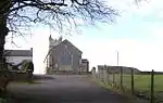
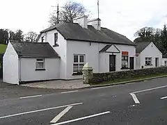
St Michael's Church of Ireland Parish Church in Trory is a listed building.
Transport
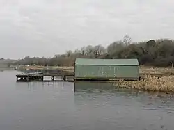
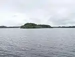
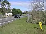
The ferry to Devenish Island leaves from Trory point about 1.5 miles out of Enniskillen.[5]
Civil parish of Trory

The civil parish includes the small village of Ballycassidy.
Townlands
The civil parish includes the following townlands:[3]
B
Ballycassidy, Buninubber
C
Car Island, Cloghbally, Concrick
D
Derryargon, Derrygore, Derryinch, Drumcoo, Drumgarrow, Drummackilowney
F
Ferny Island
G
Gublusk
H
Hay Island
I
Inish Free
K
Kilmacormick
L
Laragh, Long Island
M
Mossfield (also known as Urbal)
O
Oghill
P
Paris Island Big, Paris Island Little
R
Ring, Rockfield, Rossahilly
S
Shanmullagh, Srahenny
T
Thornhill Glebe, Trasna Island, Trory, Tully, Tullyavy, Tullylone
U
Urbal (also known as Mossfield)
W
White Island
See also
References
- Sanderson, Ernest (1976). Discover Northern Ireland. Belfast: Northern Ireland Tourist Board. p. 141. ISBN 0 9500222 7 6.
- "Trory". Place Names NI. Retrieved 19 April 2015.
- "Trory". IreAtlas Townlands Database. Retrieved 19 April 2015.
- NI Neighbourhood Information System
- Enniskillen.com Archived 2008-12-24 at the Wayback Machine
| Wikimedia Commons has media related to Trory. |