Drumskinny
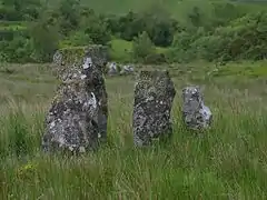
Drumskinny (from Irish Droim Scine 'ridge of the knife/edge'[1]) is the site of a stone circle in the townland of Drumskinny, County Fermanagh, Northern Ireland. With the inclusion of an adjacent cairn and alignment, the stone circle is a State Care Historic Monument in Fermanagh and Omagh district, at grid ref: H 2009 7072.[2][3] The site was excavated in 1962[4] and is believed to have built around 2000 BC.[5]
| Drumskinny | |
|---|---|
 Some of the standing stones at Drumskinny, County Fermanagh, Northern Ireland | |
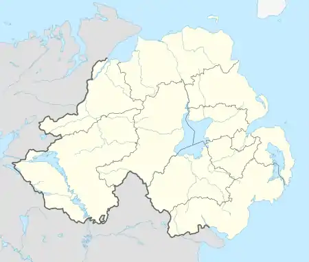
 Drumskinny Location within Northern Ireland | |
| Irish grid reference | H20097072 |
| District | |
| County | |
| Country | Northern Ireland |
| Sovereign state | United Kingdom |
| Postcode district | BT |
| Dialling code | 028, +44 28 |
| UK Parliament | |
| NI Assembly | |
There are also two other townlands in Northern Ireland called Drumskinny: in the civil parish of Clonfeacle in County Tyrone; and in the civil parish of Dromore also in County Tyrone.
External links
References
| Wikimedia Commons has media related to Drumskinny. |
- Place Names NI
- "Drumskinny" (PDF). Environment and Heritage Service NI - State care Historic Monuments. Archived from the original (PDF) on 22 July 2012. Retrieved 3 December 2007.
- "Drumskinny". The Megalithic Portal. Retrieved 2 December 2007.
- "Drumskinny Stone Circle". Irish Antiquities. Retrieved 6 October 2010.
- "Drumskinny Stone Circle". Triskelle. Retrieved 2 December 2007.
This article is issued from Wikipedia. The text is licensed under Creative Commons - Attribution - Sharealike. Additional terms may apply for the media files.
