Wareham, Minnesota
Wareham is an abandoned townsite in Pine County, Minnesota, United States.
Wareham | |
|---|---|
 Wareham | |
| Coordinates: 46°06′05″N 92°52′10″W | |
| Country | United States |
| State | Minnesota |
| County | Pine |
| Time zone | UTC-6 (Central (CST)) |
| • Summer (DST) | UTC-5 (CDT) |
| Area code(s) | 320 |
| GNIS feature ID | 651181[1] |
Wareham was located immediately south of Sandstone on Government Road. Government Road, also known as "Douglas Highway" or the "Old Military Road", had served as a main route in the community. It is two miles from Interstate 35.
History
The community of Wareham originally had access to the Great Northern Railway line; with the former rail right-of-way still being used by electrical transmission lines.
The Kettle River and a stage-coach road built by the military were also in the vicinity. After old Highway 61 was improved by the 1940s, running through nearby Friesland, Wareham then became a ghost town.
In the present day, a camp is located where the community had once existed; with access to the river.
References
- "US Board on Geographic Names". United States Geological Survey. 2007-10-25. Retrieved 2008-01-31.
Municipalities and communities of Pine County, Minnesota, United States | ||
|---|---|---|
| Cities | 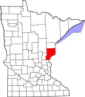 Map of Minnesota highlighting Pine County | |
| Townships | ||
| Unincorporated communities | ||
| Ghost towns | ||
| Indian reservation | ||
| ||
| Authority control |
|
|---|