Warracknabeal Airport
Warracknabeal Airport (IATA: WKB, ICAO: YWKB) is located about 5 nautical miles (9.3 km; 5.8 mi) south[1] of Warracknabeal, Victoria, Australia on the Henty Highway towards Horsham. It is within the locality of Kellalac.
Warracknabeal Airport | |||||||||||||||
|---|---|---|---|---|---|---|---|---|---|---|---|---|---|---|---|
| Summary | |||||||||||||||
| Airport type | Public | ||||||||||||||
| Operator | Yarriambiack Shire Council | ||||||||||||||
| Location | Warracknabeal, Victoria | ||||||||||||||
| Elevation AMSL | 397 ft / 121 m | ||||||||||||||
| Coordinates | 36°19′16″S 142°25′10″E | ||||||||||||||
| Map | |||||||||||||||
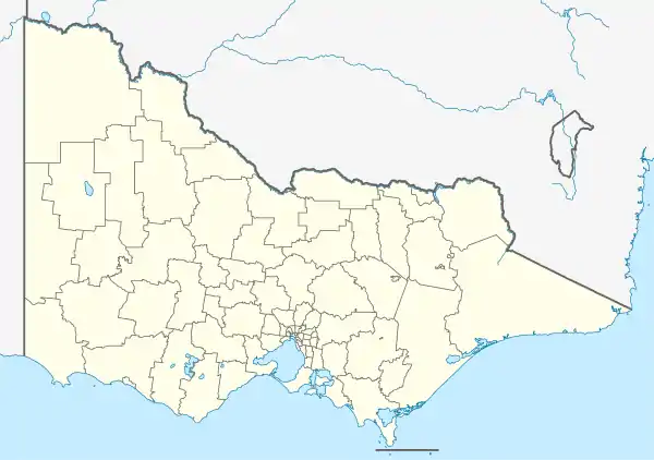 YWKB Location in Victoria | |||||||||||||||
| Runways | |||||||||||||||
| |||||||||||||||
See also
References
- YWKB – Warracknabeal (PDF). AIP En Route Supplement from Airservices Australia, effective 05 Nov 2020, Aeronautical Chart
This article is issued from Wikipedia. The text is licensed under Creative Commons - Attribution - Sharealike. Additional terms may apply for the media files.