Echuca Airport
Echuca Airport (IATA: ECH, ICAO: YECH) is located 1.5 nautical miles (2.8 km; 1.7 mi) south[2] of Echuca, Victoria, Australia.[3][4]
Echuca Aerodrome | |||||||||||||||
|---|---|---|---|---|---|---|---|---|---|---|---|---|---|---|---|
| Summary | |||||||||||||||
| Airport type | Public | ||||||||||||||
| Operator | Echuca Aerodrome Committee of Management | ||||||||||||||
| Location | Echuca, Victoria | ||||||||||||||
| Opened | c. 1935 [1] | ||||||||||||||
| Elevation AMSL | 323 ft / 98 m | ||||||||||||||
| Coordinates | 36°09′26″S 144°45′43″E | ||||||||||||||
| Website | www | ||||||||||||||
| Map | |||||||||||||||
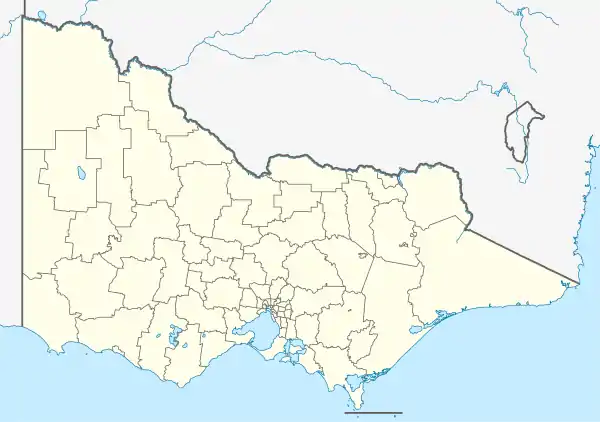 YECH Location in Victoria | |||||||||||||||
| Runways | |||||||||||||||
| |||||||||||||||
See also
References
- "Wrecked R.A.A.F. Plane in Echuca Crash". The Daily News. LV (18, 921). Western Australia. 9 November 1935. p. 7 (LATE CITY). Retrieved 4 June 2019 – via National Library of Australia.
- YECH – Echuca (PDF). AIP En Route Supplement from Airservices Australia, effective 05 Nov 2020, Aeronautical Chart Archived 10 April 2012 at the Wayback Machine
- "ECHUCA AN AIRPORT". The Riverine Herald (17, 152). New South Wales, Australia. 15 January 1929. p. 3. Retrieved 4 June 2019 – via National Library of Australia.
- "WHAT HAS HAPPENED TO ECHUCA'S AIRPORT PLAN?". The Riverine Herald (22, 253). New South Wales, Australia. 14 May 1949. p. 1. Retrieved 4 June 2019 – via National Library of Australia.
This article is issued from Wikipedia. The text is licensed under Creative Commons - Attribution - Sharealike. Additional terms may apply for the media files.