West Lockinge
West Lockinge is a village in Lockinge civil parish, about 1.5 miles (2.4 km) east of Wantage. It was part of Berkshire until the 1974 local authority boundary changes transferred the Vale of White Horse to Oxfordshire. The village is included within the North Wessex Downs Area of Outstanding Natural Beauty (AONB).
| West Lockinge | |
|---|---|
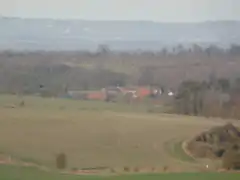 West Lockinge from The Ridgeway | |
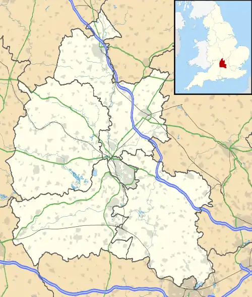 West Lockinge Location within Oxfordshire | |
| Population | 179 (parish, including East Lockinge) (2001 census)[1] |
| OS grid reference | SU4287 |
| Civil parish | |
| District | |
| Shire county | |
| Region | |
| Country | England |
| Sovereign state | United Kingdom |
| Post town | Wantage |
| Postcode district | OX12 |
| Dialling code | 01235 |
| Police | Thames Valley |
| Fire | Oxfordshire |
| Ambulance | South Central |
| UK Parliament | |
| Website | Ardington and Lockinge Parish Council |
Geography
A chalk stream Goddard's Brook emerges in the village, feeding into Ginge Brook, which eventually joins the River Ock near Abingdon.[2]
In 1993 a mixed conifer and deciduous woodland was planted behind the village, the area is named Christopher's Wood after Christopher Loyd, previous manager of the Lockinge Estate.
National Cycle Route 544 passes through the village.[3]
History
The route of the ancient Icknield Way passes through the village.[4]
Arnhill and the nearby vicinity behind the village was an Iron Age fortification and Anglo-Saxon burial ground. Although a barrow was destroyed by ploughing, in approximately 1863 remains and artefacts were recovered from the summit of the hill.[5][6]
West Lockinge had a tithe barn for several centuries but no trace of it now survives.[7] An open field system of farming also prevailed in West Lockinge parish until it was enclosed in 1808.[7]
One cottage in the village is half-timbered and bears the date 1666.[7]
West Lockinge Farm has a Georgian farmhouse of five bays.[8] It is built of blue and red brick and has a hipped roof.[8] A record from 1770 of a "new erected messuage" at West Lockinge may refer to this house,[7] which has been enlarged by later alterations.[8] The farm is now run by Henrietta Knight and formerly Terry Biddlecombe, trainers of the racing horse Best Mate.[9] Since 1958 there has been a Lockinge Stakes horse race at Newbury Racecourse.
References
- "Area selected: Vale of White Horse (Non-Metropolitan District)". Neighbourhood Statistics: Full Dataset View. Office for National Statistics. Archived from the original on 22 June 2011. Retrieved 1 April 2010.
- "Ginge Brook". Riverlevels.uk. River Levels UK. Retrieved 28 October 2017.
- "Didcot, Wantage and The Ridgeway". Sustrans.org.uk. Sustrans. Retrieved 28 October 2017.
- Thomas, Edward Jr. (1916). The Icknield Way. London: Constable & Company Ltd. p. 51. ISBN 978-1447471929. Retrieved 22 July 2015.
- Dickinson, Tania Maruerite (1977). The Anglo-Saxon burial sites of the upper Thames region, and their bearing on the history of Wessex, circa AD 400-700. Oxford: University of Oxford, Faculty of Anthropology and Geology. p. 147. Retrieved 21 July 2015.
- Hallam, WH (1900). History of the Parish of East Lockinge Berks (2013 ed.). London. p. 96. Retrieved 21 July 2015.
- Page & Ditchfield 1924, pp. 307–311.
- Pevsner 1966, p. 170.
- West Lockinge Farm
Sources
- Page, W.H.; Ditchfield, P.H., eds. (1924). A History of the County of Berkshire, Volume 4. Victoria County History. pp. 307–311.
- Pevsner, Nikolaus (1966). Berkshire. The Buildings of England. Harmondsworth: Penguin Books. pp. 169–170.
External links
![]() Media related to West Lockinge at Wikimedia Commons
Media related to West Lockinge at Wikimedia Commons