Wichhu Qullu (Cochabamba)
Wichhu Qullu (Aymara jichu, wichhu stipa ichu, qullu mountain,[2][3] "ichu mountain", also spelled Huichu Kkollu) is a mountain in the Bolivian Andes which reaches a height of approximately 3,840 m (12,600 ft). It is located in the Cochabamba Department, Tapacari Province. Wichhu Qullu lies west of the Ch'iyar Jaqhi River and north of the village of Ch'iyar Jaqhi ("black rock", also spelled Chiaraque).[1][4]
| Wichhu Qullu | |
|---|---|
 Wichhu Qullu Location in Bolivia | |
| Highest point | |
| Elevation | 3,840 m (12,600 ft) [1] |
| Coordinates | 17°27′35″S 66°37′58″W |
| Geography | |
| Location | Bolivia, Cochabamba Department |
| Parent range | Andes |
References
- Bolivia 1:50,000 Cordillera Mazo Cruz 6241-I
- "Diccionario de Sinónimos de lengua aymara". Félix Layme Pairumani. Retrieved March 25, 2016.
- Radio San Gabriel, "Instituto Radiofonico de Promoción Aymara" (IRPA) 1993, Republicado por Instituto de las Lenguas y Literaturas Andinas-Amazónicas (ILLLA-A) 2011, Transcripción del Vocabulario de la Lengua Aymara, P. Ludovico Bertonio 1612 (Spanish-Aymara-Aymara-Spanish dictionary)
- "Tapacari". INE, Bolivia. Retrieved March 25, 2016.
Capital: Cochabamba | ||
| Provinces | 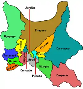 | |
| Municipalities (and seats) |
| |
This article is issued from Wikipedia. The text is licensed under Creative Commons - Attribution - Sharealike. Additional terms may apply for the media files.