Wilderness Rim, Washington
Wilderness Rim is a census-designated place (CDP) in King County, Washington, United States. It lies at an elevation of 1,043 feet (318 m).[1] The population was 1,523 at the 2010 census.[2]
Wilderness Rim, Washington | |
|---|---|
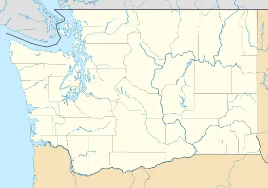 Wilderness Rim Location in Washington and the United States  Wilderness Rim Wilderness Rim (the United States) | |
| Coordinates: 47°26′49″N 121°46′7″W | |
| Country | United States |
| State | Washington |
| County | King |
| Area | |
| • Total | 0.630 sq mi (1.63 km2) |
| • Land | 0.622 sq mi (1.61 km2) |
| • Water | 0.008 sq mi (0.02 km2) |
| Elevation | 1,043 ft (318 m) |
| Population (2010) | |
| • Total | 1,523 |
| • Density | 2,447/sq mi (944.8/km2) |
| Time zone | UTC-8 (Pacific (PST)) |
| • Summer (DST) | UTC-7 (PDT) |
| GNIS feature ID | 2585052[1] |
| FIPS code | 53-78780 |
Geography
Wilderness Rim is located in eastern King County at 47°26′49″N 121°46′07″W (47.446975, -121.768572).[3] It is 4 miles (6 km) south of the city of North Bend. The community sits at the foot of Rattlesnake Mountain, which rises to the west to an elevation of 3,500 feet (1,100 m).
According to the United States Census Bureau, the Wilderness Rim CDP had a total area of 0.630 square miles (1.63 km2), of which 0.622 square miles (1.61 km2) are land and 0.008 square miles (0.021 km2), or 1.23%, are water.[2]
References
- "Wilderness Rim Census Designated Place". Geographic Names Information System. United States Geological Survey.
- "Geographic Identifiers: 2010 Census Summary File 1 (G001), Wilderness Rim CDP, Washington". American FactFinder. U.S. Census Bureau. Archived from the original on February 13, 2020. Retrieved June 24, 2019.
- "US Gazetteer files: 2010, 2000, and 1990". United States Census Bureau. 2011-02-12. Retrieved 2011-04-23.
External links
Municipalities and communities of King County, Washington, United States | ||
|---|---|---|
| Cities |
| 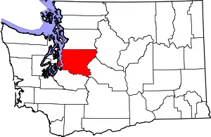 King County map |
| Towns | ||
| CDPs |
| |
| Unincorporated communities | ||
| Indian reservation | ||
| Ghost towns | ||
| Footnotes | ‡This populated place also has portions in an adjacent county or counties | |
| ||
This article is issued from Wikipedia. The text is licensed under Creative Commons - Attribution - Sharealike. Additional terms may apply for the media files.