Yaviza Airport
Yaviza Airport (IATA: PYV) is an airstrip serving Yaviza, a town in the Darién Province of Panama. Yaviza is the southern end of the Pan-American Highway and the beginning of the Darién Gap.
Yaviza Airport | |||||||||||
|---|---|---|---|---|---|---|---|---|---|---|---|
| Summary | |||||||||||
| Airport type | Public | ||||||||||
| Serves | Yaviza, Panama | ||||||||||
| Elevation AMSL | 43 ft / 13 m | ||||||||||
| Coordinates | 8°09′10″N 77°41′15″W | ||||||||||
| Map | |||||||||||
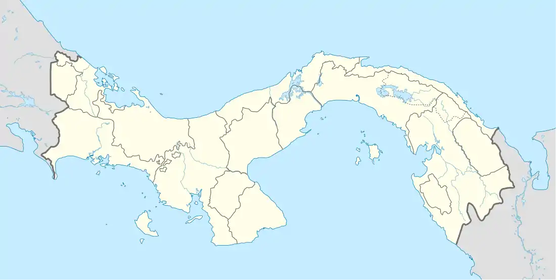 PYV Location of the airport in Panama | |||||||||||
| Runways | |||||||||||
| |||||||||||
The runway is just southeast of the town, across the Chucunaque River. North approach and departure will cross the water. There is a small pond at the southern end of the runway.
The La Palma VOR (Ident: PML) is located 30.8 nautical miles (57 km) northwest of the airstrip.[3]
See also
 Panama portal
 Aviation portal
- Transport in Panama
- List of airports in Panama
References
- HERE Maps - Yaviza
- Airport information for Yaviza Airport at Great Circle Mapper.
- "La Palma VOR". Our Airports. Retrieved 20 November 2018.
External links
- OpenStreetMap - Yaviza
- OurAirports - Yaviza Airport
- Accident history for PYV at Aviation Safety Network
- Bing Maps - Earlier image, Yaviza Airstrip
This article is issued from Wikipedia. The text is licensed under Creative Commons - Attribution - Sharealike. Additional terms may apply for the media files.
