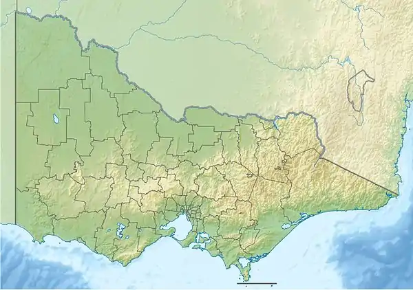
Ada River (Baw Baw, Victoria)
The Ada River is a perennial river of the West Gippsland catchment, located in the West Gippsland region of the Australian state of Victoria.
| Ada | |
|---|---|
| Location | |
| Country | Australia |
| State | Victoria |
| Region | South East Coastal Plain (IBRA), West Gippsland |
| Local government area | Shire of Baw Baw |
| Physical characteristics | |
| Source | Marney Hill |
| • location | northeast of Powelltown |
| • coordinates | 37°49′33″S 145°47′39″E |
| • elevation | 843 m (2,766 ft) |
| Mouth | confluence with the Latrobe River |
• location | west of Noojee |
• coordinates | 37°52′56″S 145°53′43″E |
• elevation | 297 m (974 ft) |
| Length | 14 km (8.7 mi) |
| Basin features | |
| River system | West Gippsland catchment |
| [1][2] | |
Course and features
Ada River rises below Marney Hill, northeast of Powelltown, in a state forestry area, and flows generally northeast, then south by east, before reaching its confluence with the Latrobe River, north of the Yarra Junction-Noojee Road, west of the locality of Noojee in the Shire of Baw Baw. The river descends 546 metres (1,791 ft) over its 14-kilometre (8.7 mi) course.[2]
The Ada River sub-catchment area is managed by the West Gippsland Catchment Management Authority.
References
- "Ada River: 9160". Vicnames. Government of Victoria. 2 May 1966. Archived from the original on 22 February 2014. Retrieved 8 February 2014.
- "Map of Ada River, VIC". Bonzle Digital Atlas of Australia. Retrieved 8 February 2014.
External links
- "West Gippsland Regional Catchment Strategy (2013 - 2019)" (PDF) (PDF – 4MB). West Gippsland Catchment Management Authority. 2012. ISBN 978-0-9805562-8-5.
- "Latrobe Catchment Ecosystem" (PDF) (PDF). West Gippsland Catchment Management Authority. 2012. Archived from the original (PDF) on 6 April 2011.
This article is issued from Wikipedia. The text is licensed under Creative Commons - Attribution - Sharealike. Additional terms may apply for the media files.
