Avaré, São Paulo
Avaré is a city in the State of São Paulo, Brazil, located 270 km from the state capital, São Paulo. The population is 91,232 (2020 est.) in an area of 1213 km2.[2] Established on 15 September 1861 by Major Vitoriano de Souza Rocha and Domiciano Santana, the city was developed around the chapel of Our Lady of the Good Death ("Nossa Senhora da Boa Morte").
Avaré | |
|---|---|
.jpg.webp) | |
 Flag  Coat of arms | |
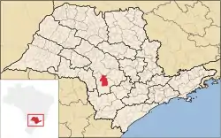 Location in São Paulo state | |
 Avaré Location in Brazil | |
| Coordinates: 23°05′56″S 48°55′33″W | |
| Country | Brazil |
| Region | Southeast |
| State | São Paulo |
| Government | |
| • Mayor | Joselyr Benedito Costa Silvestre (2017-2020) |
| Area | |
| • Total | 1,213 km2 (468 sq mi) |
| Elevation | 766 m (2,513 ft) |
| Population (2020 [1]) | |
| • Total | 91,232 |
| • Density | 75/km2 (190/sq mi) |
| Time zone | UTC-03:00 (BRT) |
| • Summer (DST) | UTC-02:00 (BRST) |
| Website | www |
The economy is based on agriculture, cattle ranching and tourism. The Jurumirim Hydroelectric Dam in the Paranapanema River is istuated near Avaré. The city has its own airport, Avaré-Arandu Airport.
Tourism is an important aspect in Avaré, which today is virtually a large ranch. Traditional events occur throughout the year, such as the Feira das Nações (Fair of the Nations), where typical foods of various countries are served, and the FAMPOP, (Fair of Popular Music), whose objective is to highlight and award singers, musicians and composers. Natural attractions such as Terra da Água, do Verde e do Sol ("Land of water, the green, and the sun") also invite tourists to the beauty of Avaré's large reservoir.
The city is also distinguished as a center of higher education. Many students from the surrounding region come to Avaré seeking a quality education and a chance to study. The Faculdade Sudoeste Paulista (São Paulo State Southwest College) and other higher education institutions are located there.
Gallery
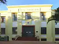 City Hall
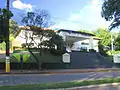 City Council
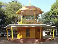 Bandstand in São João Square
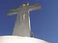 Christ Statue in Largo Santa Cruz
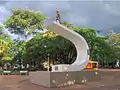 Monument to the soldiers that fought in World War II
 Luminous fountain in Largo São João
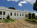 Hospital
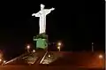 Cristo Redentor at night
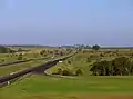 Cloverleaf interchange in Rodovia Castelo Branco
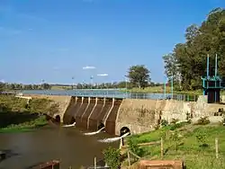 Hydroelectric power station of Rio Novo
 Temple of the Masonic Nazareth
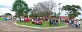 Exhibition of old vehicles
External links
| Wikimedia Commons has media related to Avaré. |
- Photos of the City
- (in Portuguese) Association Industrial Commercial Farming of Avaré – ACIA
- (in Portuguese) EncontraAvaré - Find everything about Avaré