Ballymakeera
Ballymakeera or Ballymakeery (Irish: Baile Mhic Íre, meaning "Townland of the Sons of Íre" Irish pronunciation: [ˈbˠalʲə vʲikʲ ˈiːrʲə] )[1] is a small townland and Gaeltacht village in the civil parish of Ballyvourney, barony of Muskerry West, County Cork, Ireland.
Ballymakeera
Baile Mhic Íre | |
|---|---|
Village | |
%252C_Main_Street_-_geograph.org.uk_-_756268.jpg.webp) Baile Mhic Íre on the N22 | |
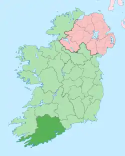
 Location in Ireland | |
| Coordinates: 51.93558°N 9.143667°W | |
| Country | Ireland |
| Province | Munster |
| County | County Cork |
| Elevation | 118 m (387 ft) |
The village, which in turn has postal addresses of Ballymakeera East and Ballymakeera West, forms part of the twin villages of Ballymakeery and Ballyvourney. The village is situated in the valley of the River Sullane on the N22 national primary road. It is within the Muskerry Gaeltacht. Ballymakeera is part of the Cork North-West (Dáil constituency).
Sites
Three Ogham stones are nearby with the somewhat later addition of a Christian shrine to St Abán.[2]
References
- Official name: Baile Mhic Íre Placenames Database of Ireland
- Tom Pullman. Photograph of Ogham stones near Baile Mhic Íre 2003-07-23.
See also
This article is issued from Wikipedia. The text is licensed under Creative Commons - Attribution - Sharealike. Additional terms may apply for the media files.
