Bhatkal
Bhatkal, is a town in the Uttara Kannada District of the Indian state of Karnataka. Bhatkal lies on National Highway 66, which runs between Mumbai and Kanyakumari, and has one of the major railway stations along the Konkan Railway line, which runs between Mumbai and Mangalore. This place is sometimes referred to as Mini Dubai. This place is also known as "Al Nawayath
Bhatkal | |
|---|---|
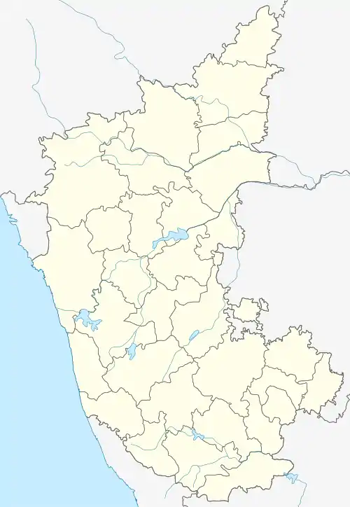
 Bhatkal Location in Karnataka, India  Bhatkal Location in India | |
| Coordinates: 13.967°N 74.567°E[1] | |
| Country | |
| State | Karnataka |
| District | Uttara Kannada |
| Government | |
| • Type | Town Municipal Council |
| • Body | Bhatkal Town Municipal Council |
| Area | |
| • Total | 355.50 km2 (137.26 sq mi) |
| Elevation | 3 m (10 ft) |
| Population (2011) | |
| • Total | 161,576 |
| • Density | 450/km2 (1,200/sq mi) |
| Demonym(s) | Bhatkali, Bhatkalite |
| Languages | |
| • Official | Kannada Nawati |
| Time zone | UTC+5:30 (IST) |
| PIN | 581 320 |
| Telephone code | +91-8385 |
| Vehicle registration | KA-47 |
History
In its early days, Bhatkal was mainly inhabited by the followers of Jain and Hindu religions, but gradually people from other religions and cultures began to settle there. Bhatkal was named after Jain Grammarian, Bhattakalanka, who hailed from Hadwalli village, a town on the state highway toward Jog Falls. With Sharavathi river flowing a few miles to the north, the town is located along the shores of the Arabian Sea. Because of its strategic location, Bhatkal was the main factor behind the erratic history of the countryside. Bhatkal witnessed the rise and fall of several dynasties and rulers. It was a part of the Hoysala Empire, from 1291 to 1343, before falling into the hands of the Vijayanagara Empire. After the disintegration of the latter, the much-coveted town of Bhatkal came under the control of the Saluva (Jain) rulers based in Hadwalli.
Numerous temples and bases were constructed during the reign of the Saluva dynasty. Vestiges of this period can be found in Mudbhatkal, where a few temples are still standing as a testament to the magnificence of that era. The Nawayaths arrived on the West Coast of India from countries including Iraq, Iran, Yemen, Jordan, Saudi Arabia, Oman, Algeria, Egypt, Morocco, as traders of spices, leather, jewelry and Arabian horses. They chose to settle there and married into another trading community of India, the Jains, who had been converted to Islam more than 1,000 years before. This led to the emergence of a new community.
Chola emperors under Aditya I, his son, Parantaka I, and Sundara Chola, also known as Parantaka Chola II, initially invaded and conquered territories in Kannada country, between Gangavadi on the Mysuru plateau and Bhatkal on the Sahyadri Coast, between 880 CE and 975 CE. They later built the Solesvara Temple to commemorate their victory over the region.
The Portuguese marked their presence in Bhatkal in the beginning of the 16th century. Krishnadevaraya, emperor of the Vijayanagara Empire, allowed them to build a fort in the town in 1510.[2] From the Keladi rulers, Bhatkal passed on to Hyder Ali and Tipu Sultan. Hyder Ali made Bhatkal the main base on the Canara Coast for his newly built Naval Force. Tipu Sultan made Bhatkal an important port and built a Mosque and a street named after him. One of Tipu's wives was from Bhatkal. Bhatkal later came into the hands of the British Empire in 1799 after his death, who died in a battle against the British.
Transport
Bhatkal is connected to other cities and states in India by roads and railways. The National Highway 66 (India) crosses the town, which had a major impact on its development. Under the Konkan Railway, many trains run day and night to and from the town. The railway station has two platforms. The nearest airports to Bhatkal are Mangalore International Airport and Goa-Dabolim International Airport. The town has one large, one medium, and one small fishing port.
Demographics
As per the 2011 India census, Bhatkal Taluk had a population of approximately 161,576 out of which, 49.98% were males and 50.02% were females. Bhatkal has an average literacy rate of 74.04%, with 78.72% and 69.36% of male and female literacy, respectively. Around 11% of the town's total population is under age 6. Scheduled Castes constitute 8.87% and Scheduled Tribes constitute 5.67% of the total population.[4]
Governance
Bhatkal is a State Assembly constituency in Uttara Kannada district and the coastal Karnataka region of Karnataka. It is a part of the Uttara Kannada Parliamentary constituency.[5] Sunil B. Naik, of the BJP, is the incumbent MLA.[6]
References
- Falling Rain Genomics, Inc – Bhatkal
- Sen, Sailendra (2013). A Textbook of Medieval Indian History. Primus Books. p. 109. ISBN 978-9-38060-734-4.
- "Bhatkal Religion Data 2011". Census 2011. Retrieved 26 March 2017.
- "Census of India – Population Enumeration Data (Final Population)". Census of India 2011. The Registrar General & Census Commissioner, India, New Delhi-110011.
- "Bhatkal Election Result 2018 Live: Bhatkal Assembly Elections Results (Vidhan Sabha Polls Result)". News18. Retrieved 19 December 2019.
- "Bhatkal Assembly Constituency Page". partyanalyst.com. Archived from the original on 22 July 2014.
External links
- Bhatkal, Town Municipal Council
- Bhatkal, Town information
- "Bhatkal And Its Struggle With History And Radical Islam". HuffPost India. 3 April 2015. Retrieved 17 January 2020.
