Burns, Colorado
Burns is an unincorporated community in northern Eagle County, Colorado, United States.
Burns, Colorado | |
|---|---|
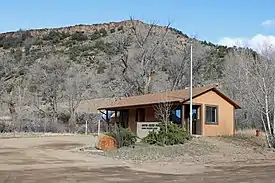 The post office in Burns. | |
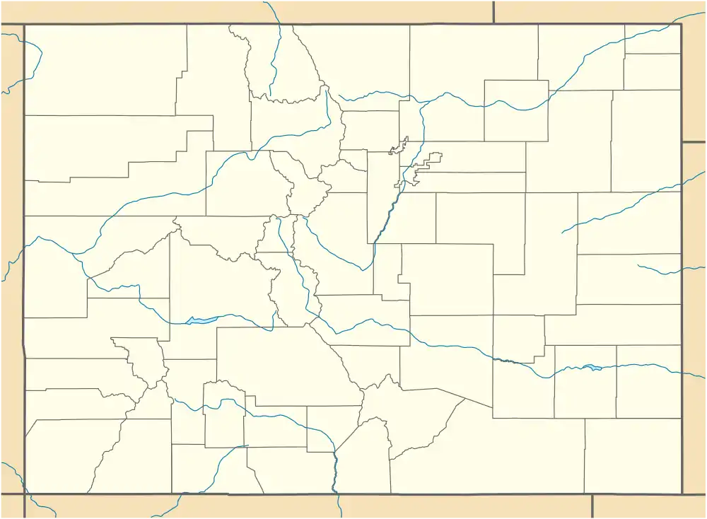 Burns Location within the State of Colorado  Burns Burns (the United States) | |
| Coordinates: 39°52′24″N 106°52′55″W | |
| Country | |
| State | |
| County | Eagle County |
| Elevation | 6,496 ft (1,980 m) |
| Time zone | UTC-7 (MST) |
| • Summer (DST) | UTC-6 (MDT) |
| Zip code | 80426[2] |
Description
The community is located along a remote stretch of the Colorado River southwest of Kremmling. It is accessible only by dirt and gravel county roads from State Highway 131 and Interstate 70. The community is located in an arroyo along the river, along the route of the Denver and Rio Grande Western Railroad mainline (now the Union Pacific Railroad) in the sandstone canyons along the Colorado. It consists of a U.S. Post Office (ZIP Code 80426) and a ranch. Livestock ranching is the primary industry in the surrounding area.
History
The town is named for Jack Burns, a trapper who built a cabin in the area.[3] The Burns Post Office opened on May 14, 1895.[4]
Geography
Burns is located at 39°52′24″N 106°52′55″W (39.873385,-106.881866).
See also
![]() Colorado portal
Colorado portal
References
- "US Board on Geographic Names". United States Geological Survey. 2007-10-25. Retrieved 2008-01-31.
- "ZIP Code Lookup". United States Postal Service. Archived from the original (JavaScript/HTML) on September 3, 2007. Retrieved September 4, 2007.
- Eichler, Geo. R. (1977). Colorado Place Names. 77-089726: Johnson Publishing Company.CS1 maint: location (link)
- Bauer, William H.; James L. Ozment; John H. Willard (1990). Colorado Post Offices 1859–1989. 90-34759: The Colorado Railroad Museum. ISBN 0-918654-42-4.CS1 maint: location (link)
External links
![]() Media related to Burns, Colorado at Wikimedia Commons
Media related to Burns, Colorado at Wikimedia Commons
Municipalities and communities of Eagle County, Colorado, United States | ||
|---|---|---|
| Towns | 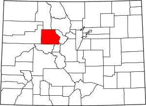 Map of Colorado highlighting Eagle County | |
| CDPs | ||
| Unincorporated communities |
| |
| Ghost towns | ||
| Footnotes | ‡This populated place also has portions in an adjacent county or counties | |
| ||