California Historical Landmarks in Modoc County
This list includes properties and districts listed on the California Historical Landmark listing in Modoc County, California. Click the "Map of all coordinates" link to the right to view a Google map of all properties and districts with latitude and longitude coordinates in the table below.
| Image | [1] | Landmark name | Location | City or town | Summary |
|---|---|---|---|---|---|
 Battle of Land's Ranch |
108 | Battle of Land's Ranch | State Hwy. 139, 0.1 mi. S. of jct. with Old Alturas Hwy. (Co. Rd. 114) 41°50′32″N 121°18′30″W |
||
 Bloody Point |
8 | Bloody Point | 2.9 mi. S. of Oregon border on Old Alturas Hwy. (Co. Rd. 114), then 0.7 mi. W. on Co. Rd. 104 at J Canal crossing 41°57′25″N 121°21′17″W |
||
 Bonner Grade |
15 | Bonner Grade | Cedar Pass, 6.2 mi. W. of Cedarville on State Hwy. 299 41°33′38″N 120°16′06″W |
Cedarville | |
 Chimney Rock |
109 | Chimney Rock | U.S. Hwy. 395 41°35′46″N 120°25′26″W |
Alturas | |
Cressler and Bonner Trading Post |
14 | Cressler and Bonner Trading Post | Cedarville Park 41°31′44″N 120°10′26″W |
Cedarville | |
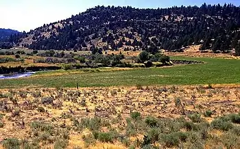 Evans and Bailey Fight |
125 | Evans and Bailey Fight | Hilltop, 500 ft. S. of Centerville Rd., 4.9 mi. S.E. of Canby 41°24′56″N 120°48′09″W |
Canby | |
 Fandango Pass |
546 | Fandango Pass | 3.8 mi. W. of Surprise Valley Rd. (Co. Rd. 1) on Fandango Pass Rd. (Co. Rd. 9) 41°48′08″N 120°12′25″W |
Fort Bidwell | |
 Fort Bidwell |
430 | Fort Bidwell | Fort Bidwell Indian Community Center, W. end of Bridge St. 41°51′31″N 120°09′32″W |
Fort Bidwell | |
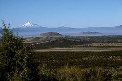
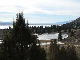
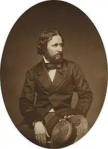 Fremont's Camp |
6 | Fremont's Camp | Old Alturas Hwy. (Co. Rd. 114), 0.7 mi. north of jct. with State Hwy. 139 41°51′16″N 121°18′52″W |
Copic | |
.jpg.webp) Infernal Caverns Battleground |
16 | Infernal Caverns Battleground | Ferry Ranch 41°16′20″N 120°34′34″W |
Likely | |
Old Emigrant Trail |
111 | Old Emigrant Trail | N.W. of Co. Rd. 84 41°25′07″N 120°59′48″W |
Canby | |
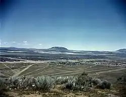 Tule Lake War Relocation Center |
850-2 | Tule Lake War Relocation Center | State Hwy. 139 and Co. Rd. 176 41°53′07″N 121°22′29″W |
Newell |
References
- "California Historical Landmarks By County". Ohp.parks.ca.gov. Retrieved 2019-04-03.
See also
| Wikimedia Commons has media related to California Historical Landmarks in Modoc County, California. |
This article is issued from Wikipedia. The text is licensed under Creative Commons - Attribution - Sharealike. Additional terms may apply for the media files.
