California Historical Landmarks in Tulare County, California
This list includes properties and districts listed on the California Historical Landmark listing in Tulare County, California. Click the "Map of all coordinates" link to the right to view a Google map of all properties and districts with latitude and longitude coordinates in the table below.
| Image | [1] | Landmark name | Location | City or town | Summary |
|---|---|---|---|---|---|
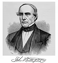
 Butterfield Stage Route |
471 | Butterfield Stage Route | SW corner of Hermosa St. and State Hwy. 65 36°12′09″N 119°06′15″W |
Lindsay | |
 Election Tree |
410 | Election Tree | Charter Oak Dr. 36°21′30″N 119°10′35″W |
Visalia | |
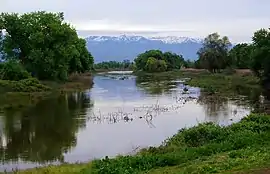
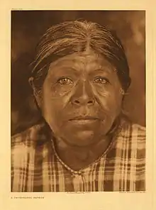 First Tule River Reservation |
388 | First Tule River Reservation | Alta Vista School, 2293 E. Crabtree Ave. 36°03′30″N 118°58′00″W |
Porterville | |
 Fountain Springs |
648 | Fountain Springs | County Rds. J22 and M 109 35°53′28″N 118°54′56″W |
Fountain Springs | |
 Kaweah Post Office, Kaweah Colony |
389 | Kaweah Post Office, Kaweah Colony | 43795 N Fork Dr. 36°28′11″N 118°55′06″W |
Kaweah | |
| 413 | Tailholt | County Hwy M109 and County Hwy MI2 35°48′40″N 118°50′34″W |
White River | ||
| 934 | Tulare Assembly Center | Tulare County Fairgrounds 36°11′57″N 119°20′32″W |
Tulare | ||
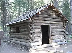
Tule River Stage Station |
473 | Tule River Stage Station | Porterville Public Park 36°04′47″N 119°01′10″W |
Porterville |
References
- "California Historical Landmarks By County". Ohp.parks.ca.gov. Retrieved 2019-04-03.
See also
| Wikimedia Commons has media related to California Historical Landmarks in Tulare County, California. |
- List of California Historical Landmarks
- National Register of Historic Places listings in Tulare County, California
This article is issued from Wikipedia. The text is licensed under Creative Commons - Attribution - Sharealike. Additional terms may apply for the media files.