Castle Wildland Provincial Park
Castle Provincial Park is a provincial park in southern Alberta, Canada. It is located within the Municipal District of Pincher Creek No. 9 west of the Town of Pincher Creek, sharing a northern boundary with the Municipality of Crowsnest Pass, a southwestern boundary with British Columbia, a southeastern boundary with Waterton Lakes National Park and a northeastern boundary with Castle Provincial Park.[2]
| Castle Wildland Provincial Park | |
|---|---|
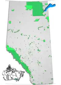
 Location of Castle Wildland Provincial Park in southern Alberta | |
| Location | |
| Nearest city | Crowsnest Pass, Pincher Creek |
| Coordinates | 49.241°N 114.244°W |
| Area | 79,678 ha (196,890 acres)[1] |
| Established | February 16, 2017[1] |
| Governing body | Alberta Parks |
The designation of Castle Wildland Provincial Park was approved on January 20, 2017 with an effective date of February 16, 2017.[1] The designation involved the protection of 79,678 ha (196,890 acres) of land.[1]
References
- "O.C. 23/2017". Government of Alberta. January 20, 2017. Retrieved January 21, 2017.
- "Castle – Provincial Park and Wildland". Alberta Parks. January 11, 2017. Archived from the original on February 2, 2017. Retrieved January 21, 2017.
This article is issued from Wikipedia. The text is licensed under Creative Commons - Attribution - Sharealike. Additional terms may apply for the media files.