Cedar Bog
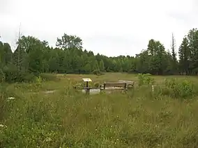
Cedar Bog State Nature Preserve is a fen left behind by the retreating glaciers of the Wisconsin glaciation about 12,000-18,000 years ago. A protected area of about 450 acres (180 ha) of fen remain from the original area of approximately 7,000 acres (28 km2).
| Cedar Bog Nature Preserve | |
|---|---|
 Boardwalk crossing Cedar Bog | |
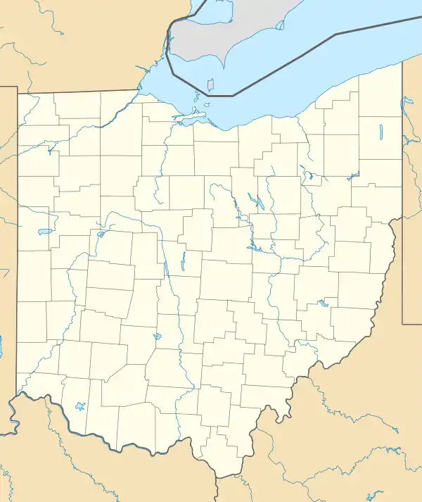
 Map of Ohio  Cedar Bog (the United States) | |
| Location | Champaign County, Ohio |
| Nearest city | Urbana |
| Coordinates | 40°03′34″N 83°47′44″W |
| Area | 450 acres (180 ha) |
| Established | 1942 |
| www | |
| Designated | 1967 |
Cedar Bog is located in Champaign County, Ohio, United States, near the city of Urbana. Ground water from the Mad River Valley and the Urbana Outwash percolate through hundreds of feet of gravel left behind by the glacier in the Teays River. The Teays River is an underground river that existed before the Wisconsin glacier which, before the glacier, rivaled the Ohio River in size.
In addition to the water that feeds the bog, the glacier also left behind plants that are unique to Cedar Bog. Many of these plants are rare or endangered. The sedges and other plants that grow here left behind by the last glacier were the food for mastodons and giant sloths that once roamed the earth. Also, trees found here like bog birch and northern white cedar are more commonly found in the more northern boreal forest. Cedar Bog is also the home of the endangered spotted turtle, massasauga rattlesnake, and Milbert's tortoise-shell butterfly.
Cedar Bog was purchased in 1942 by the Ohio Historical Society and was the first nature preserve purchased with state monies. In 1967, Cedar Bog was designated as a National Natural Landmark by the National Park Service.[1]
References
- "National Natural Landmarks - National Natural Landmarks (U.S. National Park Service)". www.nps.gov. Retrieved 2019-03-26.
Year designated: 1967
External links
- The Cedar Bog Association
- Cedar Bog State Nature Preserve Ohio Department of Natural Resources
