Champoléon
Champoléon is a commune in the Hautes-Alpes department in southeastern France.
Champoléon | |
|---|---|
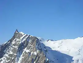 Aiguille de Cédera | |
Location of Champoléon 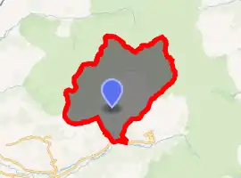
| |
 Champoléon  Champoléon | |
| Coordinates: 44°43′17″N 6°15′42″E | |
| Country | France |
| Region | Provence-Alpes-Côte d'Azur |
| Department | Hautes-Alpes |
| Arrondissement | Gap |
| Canton | Saint-Bonnet-en-Champsaur |
| Government | |
| • Mayor (2008–2014) | Pierre-Lucien Escallier |
| Area 1 | 98.54 km2 (38.05 sq mi) |
| Population (2017-01-01)[1] | 140 |
| • Density | 1.4/km2 (3.7/sq mi) |
| Time zone | UTC+01:00 (CET) |
| • Summer (DST) | UTC+02:00 (CEST) |
| INSEE/Postal code | 05032 /05260 |
| Elevation | 1,173–3,439 m (3,848–11,283 ft) (avg. 1,261 m or 4,137 ft) |
| 1 French Land Register data, which excludes lakes, ponds, glaciers > 1 km2 (0.386 sq mi or 247 acres) and river estuaries. | |
Population
| Year | Pop. | ±% |
|---|---|---|
| 1962 | 77 | — |
| 1968 | 135 | +75.3% |
| 1975 | 110 | −18.5% |
| 1982 | 116 | +5.5% |
| 1990 | 102 | −12.1% |
| 1999 | 113 | +10.8% |
| 2008 | 125 | +10.6% |
References
- "Populations légales 2017". INSEE. Retrieved 6 January 2020.
| Wikimedia Commons has media related to Champoléon. |
This article is issued from Wikipedia. The text is licensed under Creative Commons - Attribution - Sharealike. Additional terms may apply for the media files.