Cloverport Historic District
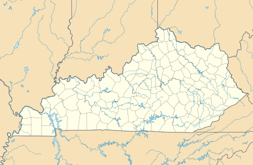
The Cloverport Historic District in Cloverport, Kentucky is a 77 acres (31 ha) historic district which is roughly bounded by 3rd, Main, Chestnut, and Lynn Streets. It was listed on the National Register of Historic Places in 1983. It included 115 contributing buildings and a contributing structure.[1]
Cloverport Historic District | |
  | |
| Location | Roughly bounded by 3rd, Main, Chestnut, and Lynn Sts., Cloverport, Kentucky |
|---|---|
| Coordinates | 37°50′11″N 86°37′54″W |
| Area | 77 acres (31 ha) |
| MPS | Cloverport MRA |
| NRHP reference No. | 83002589[1] |
| Added to NRHP | June 21, 1983 |
The boundaries of the district were drawn to "encompass all of Cloverport's nineteenth century and early twentieth century commercial, residential and religious buildings which comprise a historic entity and an architectural unity."[2]
References
- "National Register Information System". National Register of Historic Places. National Park Service. July 9, 2010.
- William Gus Johnson (February 1983). "National Register of Historic Places Inventory/Nomination: Cloverport Multiple Resources Area" (PDF). National Park Service. Retrieved November 22, 2017. With 40 photos from 1983.
| Topics | |
|---|---|
| Lists by state |
|
| Lists by insular areas | |
| Lists by associated state | |
| Other areas | |
| Related | |
| |
This article is issued from Wikipedia. The text is licensed under Creative Commons - Attribution - Sharealike. Additional terms may apply for the media files.