Cooch Behar Airport
Cooch Behar Airport (IATA: COH, ICAO: VECO)[1] is located at Cooch Behar, West Bengal, India and serves the greater Assam-Bengal border area. The airport covers an area of 173 acres.[2]
Cooch Behar Airport | |||||||||||
|---|---|---|---|---|---|---|---|---|---|---|---|
 | |||||||||||
| Summary | |||||||||||
| Airport type | Public | ||||||||||
| Owner | Airports Authority of India | ||||||||||
| Operator | Airports Authority of India | ||||||||||
| Serves | Cooch Behar | ||||||||||
| Location | Cooch Behar, India | ||||||||||
| Elevation AMSL | 138 ft / 42 m | ||||||||||
| Coordinates | 26°19′52″N 89°28′06″E | ||||||||||
| Map | |||||||||||
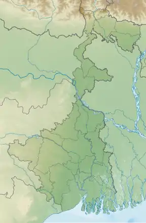
 COH Location of the airport in West Bengal  COH COH (India) | |||||||||||
| Runways | |||||||||||
| |||||||||||
Sources[1] | |||||||||||
Facilities
The airport is located at an elevation of 138 feet (42 m) above mean sea level. It has one runway designated 04/22 with an asphalt surface measuring 3,507 by 100 feet (1,069 × 30 m) without Instrument landing system.Improvements in Radar as well as other runway systems ane happening.There is presently a high security team residing in the airport provided by Central Industrial Security Force and Coochbehar District police.[3]
 The airports gate
 The terminal building
Airlines & destinations
No airline flies at this moment. VIP flights and Military aviation occasionally occur.
References
- "ICAO Location Indicators by State" (PDF). International Civil Aviation Organization. 12 January 2006.
- "Archived copy". Archived from the original on 25 February 2008. Retrieved 25 February 2008.CS1 maint: archived copy as title (link)
- "World Aero Data: COOCH BEHAR – VECO". worldaerodata.com. Archived from the original on 14 July 2014. Retrieved 4 September 2010.
This article is issued from Wikipedia. The text is licensed under Creative Commons - Attribution - Sharealike. Additional terms may apply for the media files.