Dooley's Ferry Fortifications Historic District
The Dooley's Ferry Fortifications Historic District encompasses a series of military earthworks erected in southwestern Arkansas, along the Red River in Hempstead County. They were constructed in late 1864 by Confederate troops under orders from Major-General John B. Magruder as a defense against the potential movements of Union Army forces toward Shreveport, Louisiana. They command a formerly major road intersection just east of Dooley's Ferry, one of the most important regional crossings of the Red River. After the war a cemetery for African-Americans (known as the Dooley Hill Cemetery[2]) was established adjacent to one of the gun emplacements.[3]
Dooley's Ferry Fortifications Historic District | |
 Cemetery with earthworks | |
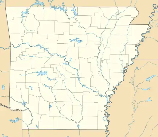  | |
| Nearest city | Spring Hill |
|---|---|
| Coordinates | 33°30′34.097″N 93°43′03.902″W |
| Area | 24 acres (9.7 ha) |
| NRHP reference No. | 04001031[1] |
| Added to NRHP | September 22, 2004 |
The fortifications were listed on the National Register of Historic Places in 2004.[1]
Gallery
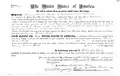 Thomas Dooley 1837 Land Patent.
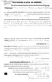 Thomas Dooley 1839 Land Patent.
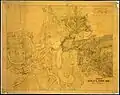 Map circa 1861–1865.
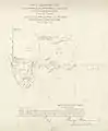 Survey map 1900.
References
- "National Register Information System". National Register of Historic Places. National Park Service. July 9, 2010.
- "Dooley Hill Cemetery (33.507375,-93.700960)". Find A Grave. Retrieved 25 July 2016.
- "Summary description for Dooley's Ferry Fortifications Historic District". Arkansas Preservation. Archived from the original on 2014-09-16. Retrieved 2014-09-16.
Further reading
- Christ, Mark K. (June 11, 2015). "Dooley's Ferry Fortifications Historic District". Encyclopedia of Arkansas History & Culture. Central Arkansas Library System.
- Environs of Dooley's Ferry, Ark., by M. A. Miller (Map). 1:2000. Confederate States. War department. Department of West Louisiana and Arkansas. May 20, 1864. Retrieved February 25, 2019 – via University of North Carolina at Chapel Hill. Library. Southern Historical Collection.
| Topics | |
|---|---|
| Lists by state |
|
| Lists by insular areas | |
| Lists by associated state | |
| Other areas | |
| Related | |
| |
This article is issued from Wikipedia. The text is licensed under Creative Commons - Attribution - Sharealike. Additional terms may apply for the media files.