Flood Marker of 1771
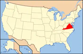
The Flood Marker of 1771 is a monument that marks the high point of a flood of the James River on May 27, 1771 that killed around 150 people near Richmond, Virginia.[3][4] The river reached a flood stage of around 45 feet above its normal levels.[4]
Flood Marker of 1771 | |
 The marker sits atop this hill | |
  | |
| Nearest city | Richmond, Virginia |
|---|---|
| Coordinates | 37°23′42″N 77°16′6″W |
| Area | 1 acre (0.40 ha) |
| Built | 1771 |
| NRHP reference No. | 71000981[1] |
| VLR No. | 043-0023 |
| Significant dates | |
| Added to NRHP | September 22, 1971 |
| Designated VLR | July 7, 1970[2] |
It was listed on the National Register of Historic Places in 1971.[1]
References
- "National Register Information System". National Register of Historic Places. National Park Service. March 13, 2009.
- "Virginia Landmarks Register". Virginia Department of Historic Resources. Retrieved 5 June 2013.
- Virginia Historic Landmarks Commission staff (May 27, 1970). "National Register of Historic Places Registration: Flood Marker of 1771" (PDF). Virginia Historic Landmarks Commission. Retrieved 2010-05-08. and Accompanying photo at Virginia Historic Landmarks Commission, undated
- "The Flood of 1771". henrico.us. Retrieved 1 February 2020.
External links
- The Flood of 1771 - Historical Marker Database
This article is issued from Wikipedia. The text is licensed under Creative Commons - Attribution - Sharealike. Additional terms may apply for the media files.

