Gwa, Myanmar
Gwa (Burmese: ဂွမြို့) is a town located at the southern tip of Myanmar's Rakhine State. It is the principal town of Gwa Township. In the 2014 census, the town and surrounding rural areas had a population of 66,015, of which only 7,422 are urban.
Gwa
ဂွမြို့ | |
|---|---|
Town | |
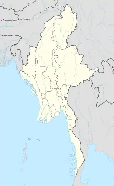 Gwa Location in Myanmar (Burma) | |
| Coordinates: 18°29′N 94°17′E | |
| Country | |
| Division | |
| District | Thandwe District |
| Township | Gwa Township |
| Population (2014 census) | 66,015[1] |
| Time zone | UTC+6.30 (MMT) |
Climate
| Climate data for Gwa, Myanmar (1982–2010) | |||||||||||||
|---|---|---|---|---|---|---|---|---|---|---|---|---|---|
| Month | Jan | Feb | Mar | Apr | May | Jun | Jul | Aug | Sep | Oct | Nov | Dec | Year |
| Average high °C (°F) | 28.8 (83.8) |
29.6 (85.3) |
31.1 (88.0) |
32.9 (91.2) |
32.7 (90.9) |
30.5 (86.9) |
29.8 (85.6) |
29.5 (85.1) |
30.6 (87.1) |
31.7 (89.1) |
31.2 (88.2) |
29.6 (85.3) |
30.7 (87.3) |
| Average low °C (°F) | 13.3 (55.9) |
14.3 (57.7) |
17.7 (63.9) |
22.3 (72.1) |
23.9 (75.0) |
23.3 (73.9) |
23.2 (73.8) |
23.0 (73.4) |
23.0 (73.4) |
22.5 (72.5) |
19.9 (67.8) |
16.0 (60.8) |
20.2 (68.4) |
| Average rainfall mm (inches) | 1.6 (0.06) |
0.7 (0.03) |
3.1 (0.12) |
19.0 (0.75) |
335.2 (13.20) |
1,016.5 (40.02) |
1,189 (46.81) |
1,162.5 (45.77) |
587.8 (23.14) |
197.3 (7.77) |
49.4 (1.94) |
6.8 (0.27) |
4,568.9 (179.88) |
| Source: Norwegian Meteorological Institute[2] | |||||||||||||
Economy
Fishing is the primary industry in Gwa. Most residents fish in nearby waters, both for self-sustenance and trade with nearby towns. Rice, bamboo and coconuts are also widely grown in Gwa for export.
References
- "Gwa (Township, Myanmar) - Population Statistics, Charts, Map and Location". www.citypopulation.de. Retrieved 7 May 2018.
- "Myanmar Climate Report" (PDF). Norwegian Meteorological Institute. pp. 23–36. Archived from the original (PDF) on 8 October 2018. Retrieved 30 November 2018.
External links
Capital: Sittwe | ||
| Kyaukpyu District |  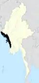 | |
| Maungdaw District | ||
| Sittwe District | ||
| Thandwe District |
| |
| Mrauk-U District | ||
| Main cities and towns | ||
This article is issued from Wikipedia. The text is licensed under Creative Commons - Attribution - Sharealike. Additional terms may apply for the media files.