Hopton, Suffolk
Hopton is a village and civil parish in the West Suffolk district of Suffolk in eastern England. Located just south of the Norfolk border on the B1111 road between Stanton and Garboldisham, in 2005 it had a population of 650.[1] It shares a parish council with neighbouring Knettishall.
| Hopton | |
|---|---|
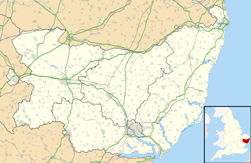 Hopton Location within Suffolk | |
| Population | 650 (2005)[1] 653 (2011)[2] |
| District | |
| Shire county | |
| Region | |
| Country | England |
| Sovereign state | United Kingdom |
| Post town | Diss |
| Postcode district | IP22 |
| Police | Suffolk |
| Fire | Suffolk |
| Ambulance | East of England |
| UK Parliament | |
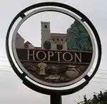
Hopton Village Sign
All Saints' Church is at the geographical centre of the village, it has regular services and is part of the United Benefice of Stanton, Hopton, Market Weston, Barningham & Coney Weston.[3]
Schools
There is a primary school, and a pre-school. The primary school feeds students both to Thurston Community College in Thurston and Ixworth Free School in Ixworth.
References
- Estimates of Total Population of Areas in Suffolk Archived 2008-12-19 at the Wayback Machine Suffolk County Council
- "Civil Parish 2011". Neighbourhood Statistics. Office for National Statistics. Retrieved 23 August 2016.
- United Benefice of Stanton, Hopton, Market Weston, Barningham & Coney Weston
External links
![]() Media related to Hopton, Suffolk at Wikimedia Commons
Media related to Hopton, Suffolk at Wikimedia Commons
This article is issued from Wikipedia. The text is licensed under Creative Commons - Attribution - Sharealike. Additional terms may apply for the media files.