Hoxa, Orkney
Hoxa is a small settlement on the island of South Ronaldsay in the Orkney Islands north of mainland Scotland. Hoxa is located 1 1⁄4 miles (2.0 km) west of St Margaret's Hope[2] at the end of the B9043 road.[3]
| Hoxa | |
|---|---|
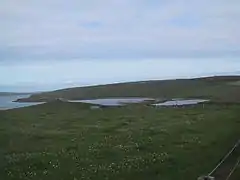 The site of The Howe of Hoxa broch (at left) | |
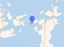
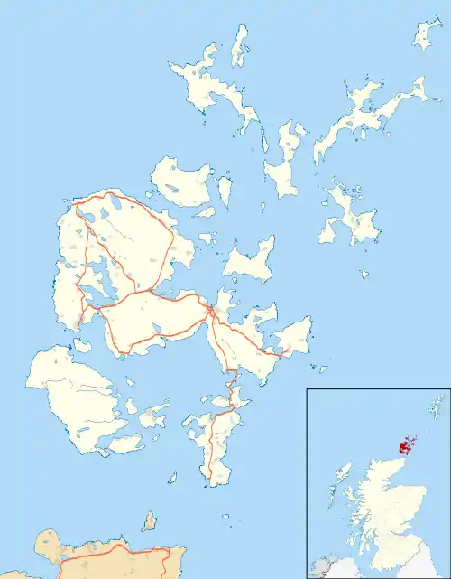 Hoxa Location within Orkney | |
| OS grid reference | HY423935 |
| Civil parish | |
| Council area | |
| Lieutenancy area | |
| Country | Scotland |
| Sovereign state | United Kingdom |
| Post town | ORKNEY |
| Postcode district | KW17 |
| Dialling code | 01856 |
| Police | Scotland |
| Fire | Scottish |
| Ambulance | Scottish |
| UK Parliament | |
| Scottish Parliament | |
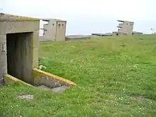 Hoxa Head concrete towers and gun emplacements sit by the modern lighthouse in the background | |
 Orkney | |
| |
| Location | Orkney, Orkney, South Ronaldsay, United Kingdom |
|---|---|
| Coordinates | 58.821878°N 3.034716°W |
| Year first constructed | 1901 (first) |
| Year first lit | 1996 (current) |
| Automated | 1996 |
| Deactivated | 1996 (first) |
| Foundation | reinforced concrete |
| Construction | metal skeletal tower |
| Tower shape | quadrangular tower covered by aluminium panels with balcony and light on the top |
| Markings / pattern | white tower |
| Tower height | 7 metres (23 ft) |
| Focal height | 15 metres (49 ft) |
| Light source | solar power |
| Characteristic | Fl WR 3s. |
| Admiralty number | A3610 |
| NGA number | 3100 |
| ARLHS number | SCO-103 |
| Managing agent | Northern Lighthouse Board[1] |
Thorfinn Turf-Einarsson the 10th century Norse Earl of Orkney (aka Thorfinn Skullsplitter) may be buried at the site of The Howe broch just north of Hoxa.[4]
References
- Hoxa Head The Lighthouse Directory. University of North Carolina at Chapel Hill. Retrieved 27 May 2016
- "Hoxa". Gazetteer of Scotland. Retrieved 7 January 2014.
- Ordnance Survey. OS Maps Online (Map). 1:25,000. Leisure.
- Wenham, Sheena "The South Isles" in Omand, Donald (ed.) (2003) The Orkney Book. Edinburgh. Birlinn. ISBN 1-84158-254-9 pp. 211-12
External links
- The Megalithic Portal - Howe of Hoxa
- Canmore - Hoxa Head Balfour Battery site record
- Northern Lighthouse Board
| Wikimedia Commons has media related to Hoxa, Orkney Islands. |
This article is issued from Wikipedia. The text is licensed under Creative Commons - Attribution - Sharealike. Additional terms may apply for the media files.
