Humboldt River Ranch, Nevada
Humboldt River Ranch is a census-designated place (CDP) in Pershing County, Nevada, United States. As of the 2010 census the population was 119.[1]
Humboldt River Ranch, Nevada | |
|---|---|
 Humboldt River Ranch | |
| Coordinates: 40°28′1″N 118°16′39″W | |
| Country | United States |
| State | Nevada |
| Area | |
| • Total | 12.9 sq mi (33.3 km2) |
| • Land | 12.9 sq mi (33.3 km2) |
| • Water | 0.0 sq mi (0.0 km2) |
| Elevation | 4,316 ft (1,316 m) |
| Population (2010) | |
| • Total | 119 |
| • Density | 9.3/sq mi (3.6/km2) |
| Time zone | UTC-8 (Pacific (PST)) |
| • Summer (DST) | UTC-7 (PDT) |
| Area code(s) | 775 |
| FIPS code | 32-34100 |
Geography
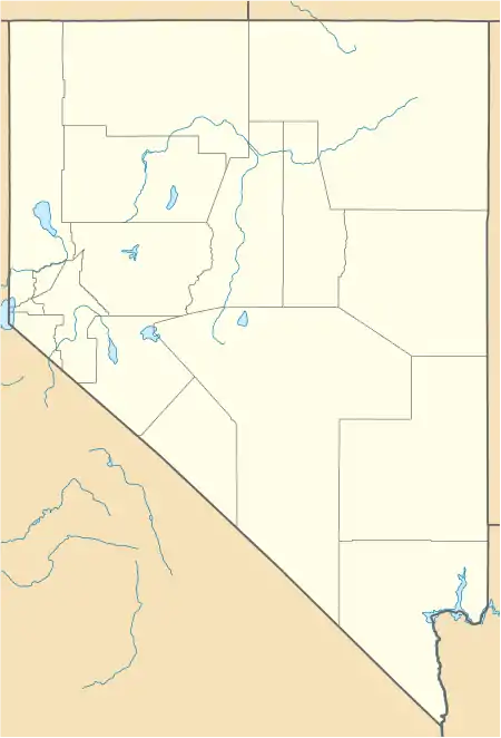
Humboldt River Ranch is located on the east side of Interstate 80 in northern Nevada, 25 miles (40 km) north (eastbound) of Lovelock and 50 miles (80 km) southwest of Winnemucca. The community is served by Exit 129 on I-80. Nevada State Route 401 leads west 1 mile (1.6 km) to Rye Patch State Recreation Area, located at Rye Patch Dam on the Humboldt River.
According to the U.S. Census Bureau, the Humboldt River Ranch CDP has an area of 12.9 square miles (33.3 km2), all land.[1]
References
- "Geographic Identifiers: 2010 Demographic Profile Data (G001): Humboldt River Ranch CDP, Nevada". U.S. Census Bureau, American Factfinder. Archived from the original on February 12, 2020. Retrieved January 28, 2013.
Municipalities and communities of Pershing County, Nevada, United States | ||
|---|---|---|
| City | 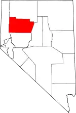 Pershing County map | |
| CDPs | ||
| Unincorporated community | ||
| Ghost towns | ||
| ||
| Authority control |
|---|
This article is issued from Wikipedia. The text is licensed under Creative Commons - Attribution - Sharealike. Additional terms may apply for the media files.