Killen, County Tyrone
Killen (from Irish: Cillín, meaning "little church")[1] is a small village and townland (of 356 acres) in County Tyrone, Northern Ireland. It is several miles southwest of Castlederg, on the road leading south over Scraghy Mountain. A short distance to the west lies County Donegal, in the Republic of Ireland. It is situated in the civil parish of Longfield West and the historic barony of Omagh West.[2] In the 2001 Census it had a population of 231 people.[3]
Killen
| |
|---|---|
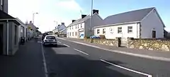
 Main Street in Killen. | |
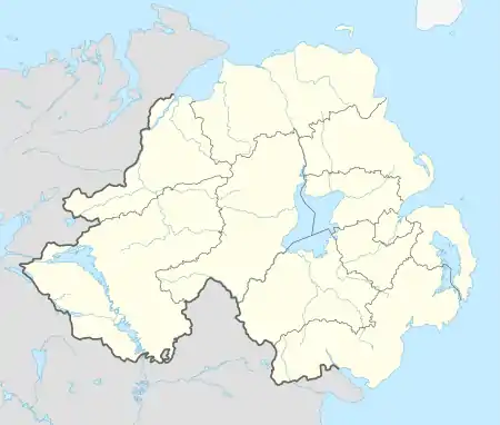
 Killen Location within Northern Ireland | |
| Population | 231 (2001 Census) |
| Irish grid reference | H240806 |
| • Belfast | 87 miles |
| District | |
| County | |
| Country | Northern Ireland |
| Sovereign state | United Kingdom |
| Post town | CASTLEDERG |
| Postcode district | BT81 |
| Dialling code | 028, +44 28 |
| UK Parliament | |
| NI Assembly | |
In recent years, Killen Creamery has been turned into a community centre and business centre. Killen also has an Orange Lodge, which was founded in 1829.
References
| Wikimedia Commons has media related to Killen, County Tyrone. |
- "Placenames NI". Archived from the original on 11 June 2012. Retrieved 19 January 2011.
- "Killen". IreAtlas Townlands Database. Retrieved 12 May 2015.
- "Killen". NI Neighbourhood Information System, Gazeteer of Settlements. Retrieved 16 January 2011.
This article is issued from Wikipedia. The text is licensed under Creative Commons - Attribution - Sharealike. Additional terms may apply for the media files.