Kyoto Tamba Kogen Quasi-National Park
Kyoto Tamba Kogen Quasi-National Park (京都丹波高原国定公園, Kyōto Tanba Kōgen Kokutei Kōen) is a Quasi-National Park in Kyoto Prefecture, Japan.
| Kyoto Tamba Kogen Quasi-National Park | |
|---|---|
| 京都丹波高原国定公園 | |
 | |
 Map of Japan | |
| Location | Kansai, Japan |
| Nearest city | Nantan, Kyoto |
| Coordinates | 35°18′50″N 135°37′20″E |
| Area | 688.51 km2 |
| Established | 25 March 2016 |
| Administrator | Kyoto Prefecture, Japan |
| Website | http://www.pref.kyoto.jp/shizen-koen/tamba.html |
Administration
Like all quasi-national parks in Japan, the park is managed by the local prefectural governments.[1] Kyoto Tamba Kogen Quasi-National Park is administered by Kyoto Prefecture.
Gallery
 Akasaki-higashitani valley, tributary of Yura river (Asiu Forest, Field Science Education and Research Center, Kyoto University)
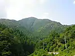
 Mt. Choro-ga-take
 Haccho-Daira Wetland
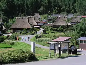
 Oku-kambayashi, Koya, Ayabe, Kyoto
 Kaminocho, Kuta, Kyoto
 Mt. Minago
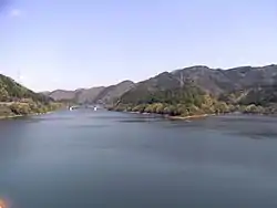
 Amawaka Lake
 Komyo-ji Temple
 Saba-kaido Road
See also
| Wikimedia Commons has media related to Kyoto Tamba Kogen Quasi-National Park. |
References
- "Definition of National Park : History and Organization". National Parks of Japan. Ministry of the Environment Government of Japan. Retrieved 25 June 2016.
- 京都丹波高原国定公園 Kyoto Tamba Kogen Quasi-National Park
- "Annual Report on the Environment, the Sound Material-Cycle Society and Biodiversity in Japan 2016" (PDF) (in Japanese). Ministry of the Environment Government of Japan. pp. 150, 151.
This article is issued from Wikipedia. The text is licensed under Creative Commons - Attribution - Sharealike. Additional terms may apply for the media files.
