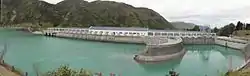
Lake Waitaki
Lake Waitaki is the smallest, oldest and farthest downstream of the three man-made lakes of the Waitaki hydroelectric project in New Zealand's South Island. It lies below lakes Aviemore and Benmore on the Waitaki River, close to the town of Kurow. It is part of the traditional boundary of the Canterbury and Otago regions (although the official border has been moved southward to include the entire lake, as well as the entire northwest portion of Waitaki District within the Canterbury Region.[1]
| Lake Waitaki | |
|---|---|
 Waitaki Dam | |
 Lake Waitaki | |
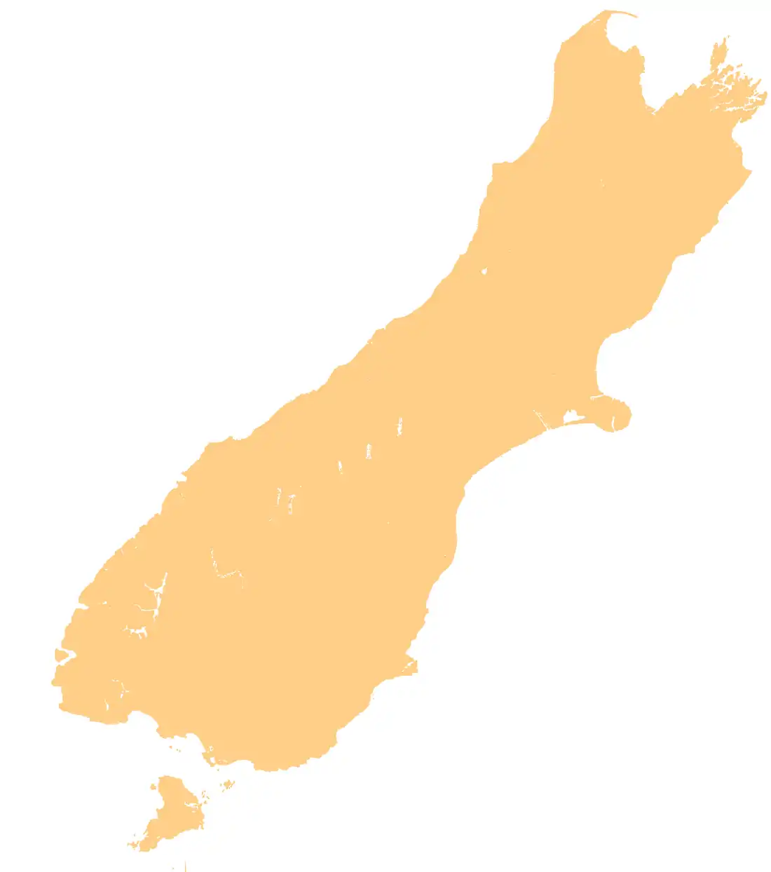
| Location | Waimate and Waitaki Districts, Canterbury region, South Island |
| Coordinates | 44°40′29″S 170°23′56″E |
| Primary inflows | Waitaki |
| Primary outflows | Waitaki |
| Basin countries | New Zealand |
| Surface elevation | 230 m (750 ft) |
The lake is created by Waitaki Dam, a 36m high spill weir dam built between 1928 and 1934. The Waitaki power station has an installed capacity of 105MW. Waitaki was the last dam built in New Zealand with excavation done with pick and shovel, not heavy machinery.[2] The power station is to be upgraded by Meridian Energy between 2011 and 2016 at a projected cost of $NZ 60 – 80 million.[3]
References
- "Archived copy". Archived from the original on 14 October 2008. Retrieved 26 August 2014.CS1 maint: archived copy as title (link)
- https://www.meridianenergy.co.nz/about-us/our-power-stations/hydro/waitaki/
- Bruce, David (29 December 2010). "Meridian upgrades on target". Otago Daily Times. Retrieved 14 January 2011.
External links
- Meridian Energy – power station information
- Waitaki Hydro-electric Project photograph album – Historic photographs held by Christchurch City Libraries