Latteridge
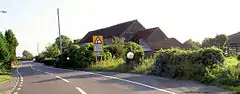
Latteridge is a hamlet in South Gloucestershire, England.[1] It lies on the B4059 road north of Iron Acton, and south of Rudgeway and Earthcott. The hamlet is divided by the B4059, there is a large village green, a railway crossing, a large duck pond and a ruined church.
| Latteridge | |
|---|---|
 | |
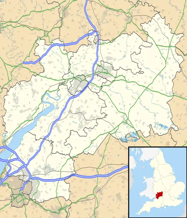 Latteridge Location within Gloucestershire | |
| Population | under 100 |
| OS grid reference | ST666847 |
| Civil parish |
|
| Unitary authority | |
| Ceremonial county | |
| Region | |
| Country | England |
| Sovereign state | United Kingdom |
| Post town | Bristol |
| Postcode district | BS37 |
| Dialling code | 01454 |
| Police | Avon and Somerset |
| Fire | Avon |
| Ambulance | South Western |
| UK Parliament |
|
References
- Ordnance Survey: Landranger map sheet 172 Bristol & Bath (Thornbury & Chew Magna) (Map). Ordnance Survey. 2013. ISBN 9780319229149.
This article is issued from Wikipedia. The text is licensed under Creative Commons - Attribution - Sharealike. Additional terms may apply for the media files.
