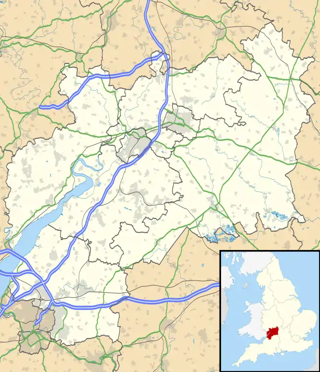
Mangotsfield
Mangotsfield is an urban area and former village in the unitary authority of South Gloucestershire, to the north-east of Bristol.
The village was mentioned in the Domesday Book in 1086 as Manegodesfelle,[1] and as Manegodesfeld in 1377.[2]
Between 1845 and 1966 the village was served by Mangotsfield railway station.
Parish
Until the 19th century Mangotsfield was the principal settlement in a large ancient parish, which also included the hamlets of Downend and Staple Hill to the west of the village, and Emersons Green, Vinny Green, Blackhorse and Moorend to the north. The parish became the civil parish of Mangotsfield in 1866.[3]
In the early 20th century Downend and Staple Hill were developed into suburbs of Bristol and outgrew the village of Mangotsfield. In 1927 the civil parish was abolished and divided into two.[4] Downend, Staple Hill and Mangotsfield village became Mangotsfield Urban District (and the civil parish of Mangotsfield Urban), and the rural eastern parts of the parish became the new civil parish of Mangotsfield Rural. Mangotsfield Urban District was itself abolished in 1974 and became part of Kingswood Borough in the new county of Avon. When Avon was abolished in 1996 the whole of Kingswood Borough joined South Gloucestershire.[5][6] The civil parish of Mangotsfield Rural continued until 2015, when it was renamed Emersons Green.[7]
Church
The parish church of St James dates from the 13th century, but was rebuilt and altered in the 19th century. It is a Grade II* listed building.[8]
Sport and leisure

Mangotsfield is the home of Mangotsfield United F.C. and Cleve R.F.C. Rodway Hill is a favourite spot for dog walkers and the starting point of many pigeon races.[9]
Education and schools
There is one secondary school in Mangotsfield: Mangotsfield School (A Specialist College in Engineering and Science).
References
- See National Archives Cat Ref: E31/2/1
- Plea Rolls of the Court of Common Pleas; National Archives; CP40/466. Year 1377; Edward III ; http://aalt.law.uh.edu/AALT4/E3/CP40no466/aCP40no466fronts/IMG_0047.htm; third entry. the (smudged) first word in the second line & also in the third line
- Vision of Britain: Mangotsfield AP/CP
- "Keynsham Registration District". www.ukbmd.org.uk.
Mangotsfield Gloucestershire 1837 to 1927 - Abolished 1927 to become the separate parishes of Mangotsfield Urban and Mangotsfield Rural.
- "The history of the Downend and Bromley Heath Parish". www.downendbromleyheath.org.
Late of Mangotsfield Urban District Council
- "BRISTOL REGISTRATION DISTRICT". www.ukbmd.org.uk.
- "About Your Council". www.emersonsgreen-tc.gov.uk. Archived from the original on 22 February 2017. Retrieved 25 March 2017.
- Historic England. "Details from listed building database (1116192)". National Heritage List for England. Retrieved 29 January 2018.
- "Archived copy". Archived from the original on 17 June 2006. Retrieved 29 May 2006.CS1 maint: archived copy as title (link)
External links
![]() Media related to Mangotsfield at Wikimedia Commons
Media related to Mangotsfield at Wikimedia Commons
