Leaze stone circle
Leaze stone circle is a stone circle located in the parish of St. Breward on Bodmin Moor in Cornwall, UK (grid reference SX13667728).
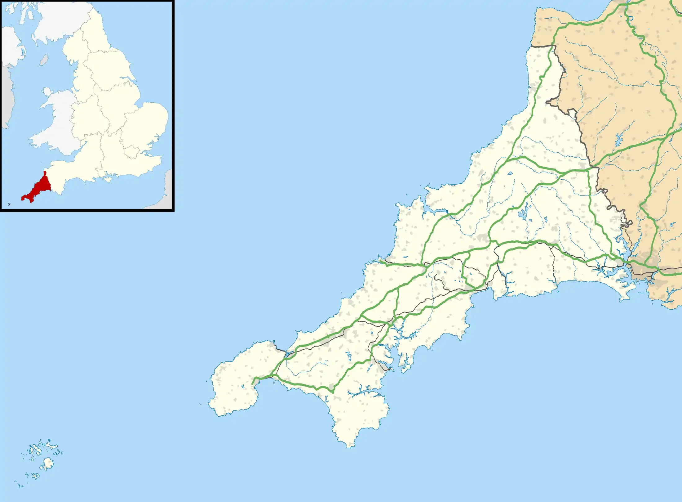 Shown within Cornwall | |
| Location | Bodmin Moor, Cornwall |
|---|---|
| Coordinates | 50.565529°N 4.63246°W |
| Type | Stone circle |
| History | |
| Periods | Bronze Age |
Description
The circle stands in enclosed pasture near the buildings of Leaze farm and is composed of sixteen stones, six of which have fallen. It is approximately twenty four metres in diameter and is cut through the centre by a hedge.[1] It has been estimated the circle once comprised twenty two stones. There is one stone positioned outside of the circle along with three dips suggested to have been formed by removed stones.[1] The stones are of squarish granite of approximately 1.22 metres (4.0 ft) in height and around .50 metres (1.6 ft) wide. Rough Tor, Tolborough Tor and Catshole Tor can be seen from the site with Brown Willy obscured behind Garrow Tor.
The fragmentary remains of two other stone circles (Emblance Downs stone circles) can be found about 300 metres northwest of Leaze stone circle.[2] Less than 1 kilometre in a west by north-west direction lies the enigmatic enclosure known as King Arthur's Hall.[3]
Alignments
Alexander Thom proposed a definitely indicated, site to stone, solar alignment at the site.[4]
References
- Historic England. "Leaze stone circle (433138)". PastScape. Retrieved 7 November 2013.
- Historic England. "Emblance Downs (4433225)". PastScape. Retrieved 7 November 2013.
- Historic England. "King Arthurs Hall (433143)". PastScape. Retrieved 7 November 2013.
- Alexander Thom (1 August 1967). Megalithic Sites in Britain, p. 100. Oxford Univ Pr on Demand. ISBN 978-0-19-813148-9. Retrieved 20 July 2011.
External links
- Pastscape - Leaze stone circle
- Illustrated entry in the Megalithic Portal
- Illustrated entry in the Modern Antiquarian
- Map sources for Leaze stone circle
Cornwall Portal | |
| Unitary authorities | |
| Major settlements |
|
| Rivers | |
| Topics | |
