Menoken, North Dakota
Menoken is a census-designated place (CDP) in southwestern Burleigh County, North Dakota, United States. It was designated as part of the U.S. Census Bureau's Participant Statistical Areas Program on June 10, 2010.[4] It was not counted separately during the 2000 Census,[5] but was included in the 2010 Census,[6] where a population of 70 was reported.[2]
Menoken, North Dakota | |
|---|---|
 Post office in Menoken | |
 Menoken  Menoken | |
| Coordinates: 46°49′14″N 100°31′52″W | |
| Country | United States |
| State | North Dakota |
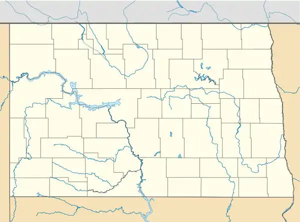
| County | Burleigh |
| Area | |
| • Total | 2.237 sq mi (5.79 km2) |
| • Land | 2.176 sq mi (5.64 km2) |
| • Water | 0.061 sq mi (0.16 km2) |
| Elevation | 1,722 ft (525 m) |
| Population | |
| • Total | 70 |
| • Density | 31/sq mi (12/km2) |
| Time zone | UTC-6 (Central (CST)) |
| • Summer (DST) | UTC-5 (CDT) |
| ZIP codes | 58558 |
| Area code(s) | 701 |
| FIPS code[3] | 38-52180 |
| GNIS feature ID[3] | 2628575 |
It lies southeast of the city of Bismarck, the county seat of Burleigh County.[7] Its elevation is 1,722 feet (525 m). The community has had many different names, starting with Seventeenth Siding in 1873, then it was soon renamed Blaine for James G. Blaine, U.S. Senator from Maine, then when the post office opened in 1880, the town was renamed Clarke's Farm after C.J. Clarke of Pittsburgh, a local farmer. The town was finally renamed Menoken in 1883, which is an Indian name,[8] but the Northern Pacific Railroad disliked the new name and changed the name of their station in 1891 to Burleigh (a.k.a. Burleigh Station), and the siding still carries this alternate name to this day. Although it is unincorporated, it has a post office, with the ZIP code of 58558.[9]
Climate
This climatic region is typified by large seasonal temperature differences, with warm to hot (and often humid) summers and cold (sometimes severely cold) winters. According to the Köppen Climate Classification system, Menoken has a humid continental climate, abbreviated "Dfb" on climate maps.[10]
References
- "US Gazetteer files: 2010, 2000, and 1990". United States Census Bureau. 2011-02-12. Retrieved 2011-04-23.
- "2010 Census Redistricting Data (Public Law 94-171) Summary File". American FactFinder. United States Census Bureau. Retrieved May 2, 2011.
- "US Board on Geographic Names". United States Geological Survey. 2007-10-25. Retrieved 2008-01-31.
- "Menoken Census Designated Place". Geographic Names Information System. United States Geological Survey. Retrieved 2010-07-13.
- U.S. Census Bureau (2003). "Population and Housing Unit Counts, North Dakota" (PDF). 2000 Census of Population and Housing. Government Printing Office. Retrieved 2008-07-20.
- U.S. Census Bureau (February 13, 2008). "Census Designated Place (CDP) Program for the 2010 Census—Final Criteria" (PDF). Federal Register. Archived from the original (PDF) on October 18, 2010. Retrieved 2010-07-13.
- Rand McNally. The Road Atlas '08. Chicago: Rand McNally, 2008, p. 77.
- Wick, Douglas A. (1988). North Dakota Place Names. Bismarck, North Dakota: Hedemarken Collectibles. ISBN 0-9620968-0-6. OCLC 191277027.
- Zip Code Lookup
- Climate Summary for Menoken, North Dakota
Municipalities and communities of Burleigh County, North Dakota, United States | ||
|---|---|---|
| Cities | 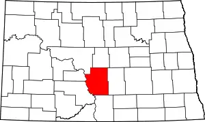 Map of North Dakota highlighting Burleigh County | |
| Townships |
| |
| CDPs | ||
| Unorganized territories |
| |
| Unincorporated communities | ||
| Ghost town | ||
| Footnotes | ‡This populated place also has portions in an adjacent county or counties | |
| ||
| Counties | 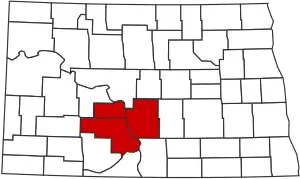 | |
|---|---|---|
| Core cities | ||
| Surrounding areas |
| |
| Authority control |
|
|---|