Miller cylindrical projection
The Miller cylindrical projection is a modified Mercator projection, proposed by Osborn Maitland Miller in 1942. The latitude is scaled by a factor of 4⁄5, projected according to Mercator, and then the result is multiplied by 5⁄4 to retain scale along the equator.[1] Hence:

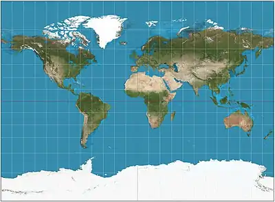
A Miller projection of the Earth.

Miller projection with 1,000 km indicatrices of distortion.
or inversely,

where λ is the longitude from the central meridian of the projection, and φ is the latitude.[2] Meridians are thus about 0.733 the length of the equator.
In GIS applications, this projection is known as: "ESRI:54003 - World Miller Cylindrical"[3]
Compact Miller projection is similar to Miller but spacing between parallels stops growing after 55 degrees.[4]
See also
References
- Flattening the Earth: Two Thousand Years of Map Projections, John P. Snyder, 1993, pp. 179, 183, ISBN 0-226-76747-7.
- "Miller Cylindrical Projection". Wolfram MathWorld. Retrieved 25 March 2015.
- "Projected coordinate systems". ArcGIS Resources: ArcGIS Rest API. ESRI. Retrieved 16 June 2017.
- http://cartographicperspectives.org/index.php/journal/article/view/cp78-patterson-et-al/1362
This article is issued from Wikipedia. The text is licensed under Creative Commons - Attribution - Sharealike. Additional terms may apply for the media files.