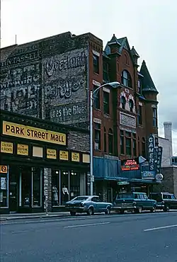
Missoula Downtown Historic District
Missoula Downtown Historic District in Missoula, Montana is a 203 acres (82 ha) historic district which was listed on the National Register of Historic Places in 2009. Its boundaries were changed in two revision listings in 2011.
Missoula Downtown Historic District | |
 | |
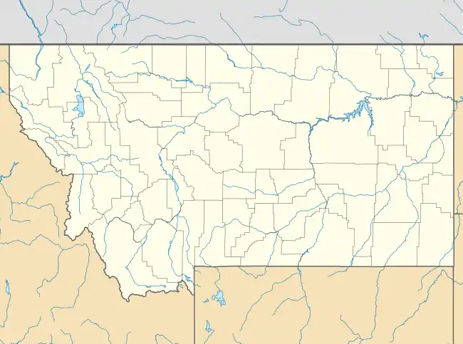  | |
| Location | Roughly bounded by the former Northern Pacific railroad tracks, the Clark Fork River, Little McCormick Park, and Madison St. Boundary increase/decrease (listed February 7, 2011): Higgins Ave. & Front St. Boundary increase (listed April 8, 2011): Bounded by Montana Rail Link and BNSF Railway, Toole-Railroad-Alder Sts., Missoula, Montana |
|---|---|
| Coordinates | 46.87°N 113.986944°W |
| Area | 203 acres (82 ha) |
| Built | 1883 |
| Built by | multiple |
| Architect | multiple |
| Architectural style | Late 19th And 20th Century Revivals, Late 19th And Early 20th Century American Movements, et al. |
| MPS | Missoula MPS |
| NRHP reference No. | 07000647[1] |
| Added to NRHP | August 21, 2009 |
Its original listing included 376 contributing buildings and four contributing sites.[1]
References
- "National Register Information System". National Register of Historic Places. National Park Service. July 9, 2010.
- Allan Mathews; Dagny Krigbaum; Philip Maechling; Rolene Schliesman; Damon Murdo (July 1, 2009). "National Register of Historic Places Inventory/Nomination: Missoula Downtown Historic District, and East Pine Street Historic District Amendment". National Park Service. Retrieved September 5, 2017. With 21 photos.
| Topics | |
|---|---|
| Lists by state |
|
| Lists by insular areas | |
| Lists by associated state | |
| Other areas | |
| Related | |
| |
This article is issued from Wikipedia. The text is licensed under Creative Commons - Attribution - Sharealike. Additional terms may apply for the media files.